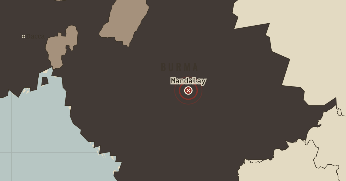
On the Indian independence map as “Mandalay — Upper Burma annexed”
Nov 1885 – 1 Jan 1886 — A river force steamed up the Irrawaddy and captured Mandalay within a fortnight. Upper Burma was annexed as a province of British India, and King Thibaw was sent into exile at Ratnagiri on India’s west coast. The conquest of the capital did not end resistance in the countryside, which lasted for years.
WW2 is free in full, and chapter 1 of every atlas is free. A free account opens 3 more chapters a day. Starter, at $9 a month, opens all 21 with no daily limit — see the plans.
Get the printable study guide for Indian Independence & Partition free. I’ll send you a few short letters, then one when a new atlas opens. That’s all. — Paul
NO TRACKING · YOUR ADDRESS IS USED FOR THE DISPATCH AND NOTHING ELSE ·
UNSUBSCRIBE ANYTIME