ON THIS DAY ·
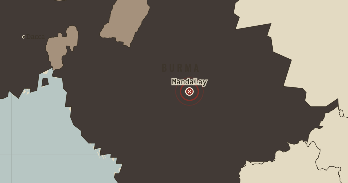
Third Anglo-Burmese War
Nov 1885 – 1 Jan 1886 — A river force steamed up the Irrawaddy and captured Mandalay within a fortnight. Upper Burma was annexed as a province of British India, and King Thibaw was sent into exile at Ratnagiri on India’s west coast. The conquest of the capital did not end resistance in the countryside, which lasted for years.
WW2 is free in full, and chapter 1 of every atlas is free. A free account opens 3 more chapters a day. Starter, at $9 a month, opens all 21 with no daily limit — see the plans.
Free printable Indian independence study guide, sent by email ↓
The moment in context
The Raj could govern a vast territory with relatively few British officials because it relied on several sources of authority. The Indian Civil Service supplied about a thousand British officers to administer districts, collect land tax and act as judges. Queen Victoria had promised impartial admission to office, but the service examination was held only in London, and its age limit was cut to nineteen in 1876. Only a handful of Indians entered. The princes formed a second support: their semi-independent states and their right to adopt heirs were protected, and Mysore, governed by British commissioners since 1831, was returned to its dynasty in 1881. The third was an army rebuilt with more British troops and recruits from Punjab and Nepal. These arrangements placed power in hands the Raj considered reliable. For educated Indians, the limited access to those hands exposed the distance between the promise of equality and the practice of government.
From British Raj and the early Congress, chapter 2 of Indian Independence & Partition, 1857–1964 (DEC 1885).
The place: Third Anglo-Burmese War — map and full story →
Teach this in 5 minutes
- Why it happened — The Crown’s promise and its limits. In her proclamation of 1858 Victoria promised that Indians would be “freely and impartially admitted” to office. The conditions for entering the ICS…
- The turn — Bombay, 28 December 1885. At Bombay on 28 December 1885, 72 delegates from every province met under the Indian president W. C. Bonnerjee. Local associations had acquired a…
- What it changed — Moderates and extremists. Gokhale and other moderates trusted reasoned petitions to British liberals and expected gradual reform. Tilak concluded that the Raj needed…
Then ask the room: Did British policy cause the famines of 1876–78 and 1896–1900, or only fail to prevent them? The argued answer is on the chapter page →
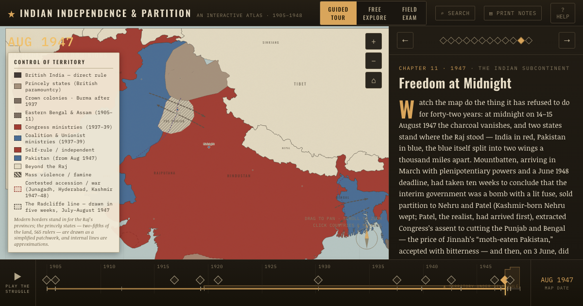
The atlas that shows it
THE FREE PRINTABLE STUDY GUIDE
Get the printable study guide for Indian Independence & Partition free. I’ll send you a few short letters, then one when a new atlas opens. That’s all. — Paul
NO TRACKING · YOUR ADDRESS IS USED FOR THE DISPATCH AND NOTHING ELSE · UNSUBSCRIBE ANYTIME