MAPS OF HISTORY · REFUGEE CRISES · BATTLES AND EVENTS · Vietnamese re-education campsRefugee crises · SITE OF MEMORY · 1975–1980s
Vietnamese re-education camps (1975–1980s)
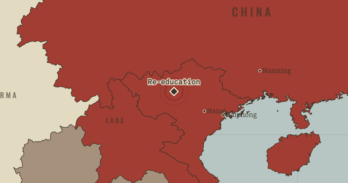
On the Refugee crises map as “Re-education camps”
1975–1980s — Hundreds of thousands of former officers, officials and others connected to the Saigon government pass through “re-education” camps. Many camps are in the northern mountains, and detainees spend months or years there without trial. Estimates of deaths from hunger, disease and overwork run into the tens of thousands, though the numbers are disputed. Remember them.
When 1975–1980s Type Site of memory Chapter Re-education camps and Hoa exodus (chapter 8 of Refugee crises)Atlas Uprooted: Refugees in Europe 1945–1960 and Indochina 1975–1990 SITE OF MEMORY · UPROOTED: REFUGEES IN EUROPE 1945–1960 AND INDOCHINA 1975–1990 These maps are reconstructed from published sources · US Department of State: Indochina refugee crisis1979 · Cliopatria v0.2.1 historical polities · UNHCR: flight from Indochina · Natural Earth v5.1.2 country geography
Source details US Department of State: Indochina refugee crisis1979. Historical facts cited; no source artwork or text reproduced Cliopatria contributors / Seshat Global History Databank. CC BY 4.0 · Selected dated records; documented component selection, unions and shared-edge extraction. UNHCR: flight from Indochina. Historical facts cited; no source artwork or text reproduced Natural Earth contributors. Public domain · Full source components and holes retained; documented historical unions and repairs. Territories and displacement hatching are reconstructed from published source geometry. The hatched areas locate historical regions; ethnicity, displacement and control were not necessarily uniform at every point within them.
The layer records give the full source geometry and date choices. Arrows remain schematic routes, using the lesson’s existing volume categories.
The 1954 Vietnam line uses the nearest published regroupment polygons, from 1956. The Thai-Cambodian overlay is a 12 km study corridor around the actual boundary; markers identify individual camps separately.
Chapter narrative date: 1978.5; each selected source records its own reference interval.
proxy: Natural Earth v5.1.2 geographic reference · reconstruction: 1976–1991
Layer records and reconstruction methods
In the same chapter
Related
THE FREE PRINTABLE STUDY GUIDE
Get the printable study guide for Uprooted free. I’ll send you a few short letters, then one when a new atlas opens. That’s all. — Paul
NO TRACKING · YOUR ADDRESS IS USED FOR THE DISPATCH AND NOTHING ELSE ·
UNSUBSCRIBE ANYTIME