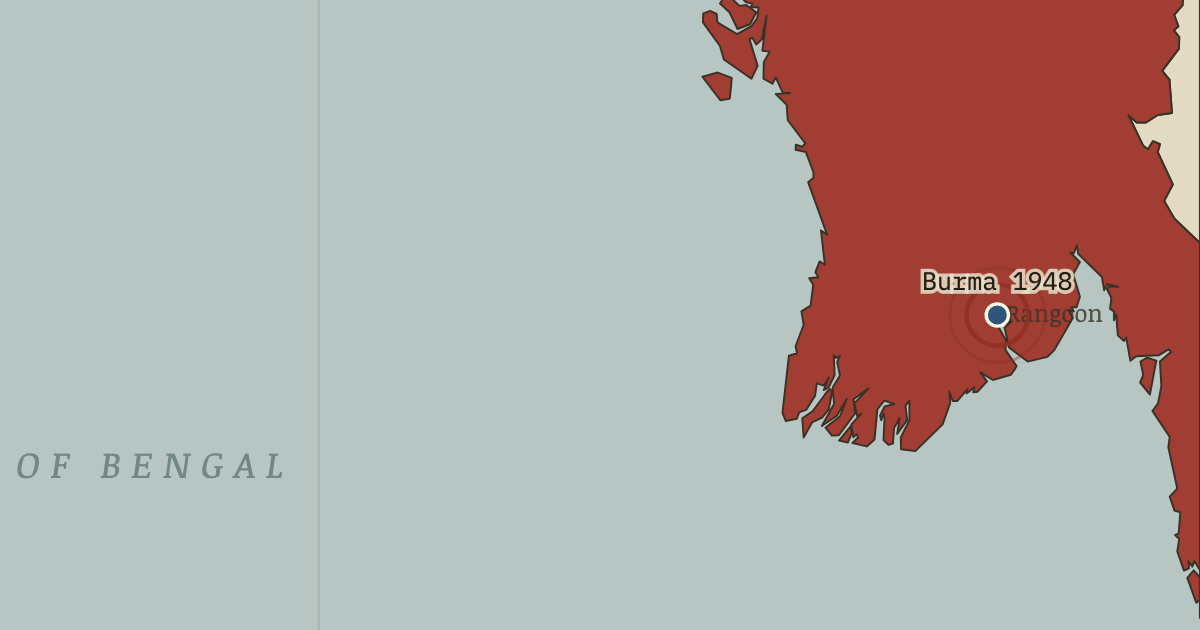
On the Indian independence map as “Rangoon — Burma leaves everything”
4 Jan 1948 — At 4:20 a.m., an hour chosen by astrologers, Burma became independent outside the Commonwealth altogether. It had been separated from India in 1937 and wrecked by the war. Aung San, the architect of its independence, had been assassinated six months before the day arrived.
Chapter 14 is included with every paid plan. WW2 is free in full, and chapter 1 of every atlas is free. A free account opens 3 more chapters a day. Starter, at $9 a month, opens all 21 with no daily limit — see the plans.
Get the printable study guide for Indian Independence & Partition free. I’ll send you a few short letters, then one when a new atlas opens. That’s all. — Paul
NO TRACKING · YOUR ADDRESS IS USED FOR THE DISPATCH AND NOTHING ELSE ·
UNSUBSCRIBE ANYTIME