ON THIS DAY ·
Independence of Burma
4 Jan 1948 — At 4:20 a.m., an hour chosen by astrologers, Burma became independent outside the Commonwealth altogether. It had been separated from India in 1937 and wrecked by the war. Aung San, the architect of its independence, had been assassinated six months before the day arrived.
WW2 is free in full, and chapter 1 of every atlas is free. A free account opens 3 more chapters a day. Starter, at $9 a month, opens all 21 with no daily limit — see the plans.
Free printable Indian independence study guide, sent by email ↓
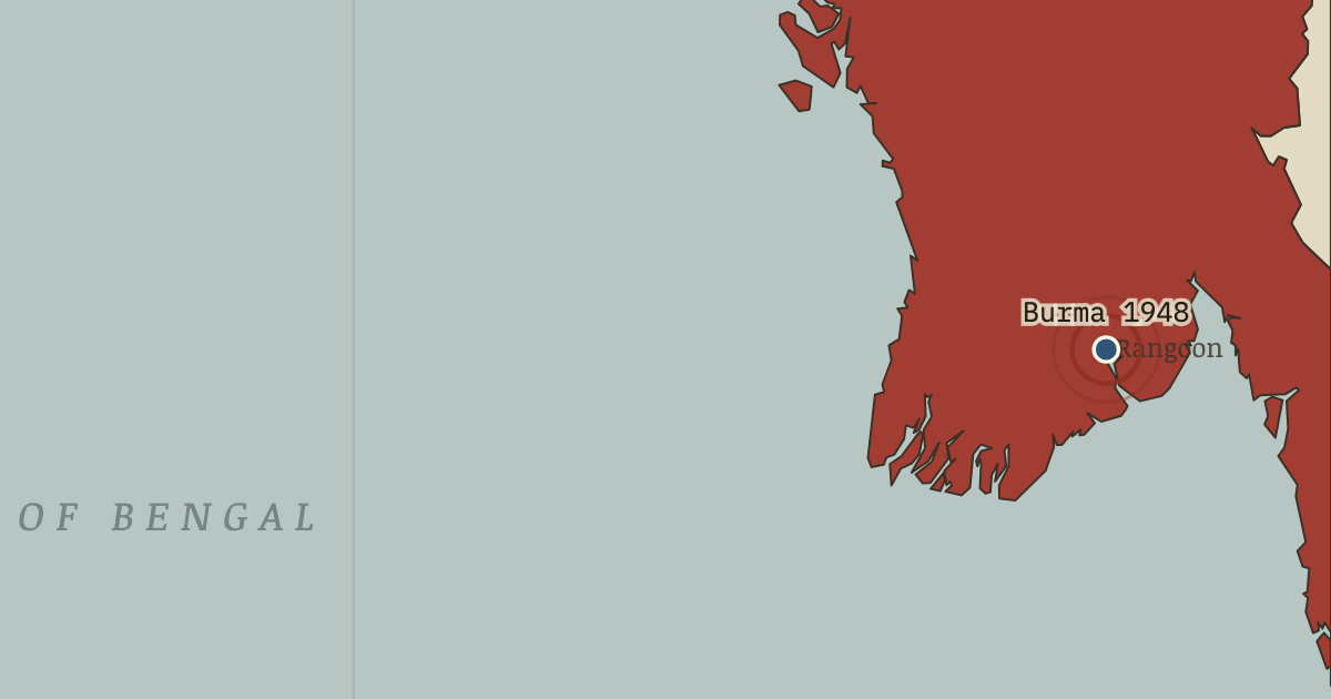
The moment in context
Independence left an unfinished question about the princely states. Accession was the legal act by which a ruler joined a dominion and handed over a defined set of powers. Most rulers had negotiated their choice, but three states remained unresolved, and each exposed a different difficulty in joining the new political map.
From Aftermath of Partition, chapter 14 of Indian Independence & Partition, 1857–1964 (FEB 1948).
The place: Independence of Burma — map and full story →
Teach this in 5 minutes
- Why it happened — Three holdouts, one doctrine. When paramountcy lapsed, accession was a choice for rulers rather than the people they ruled. Junagadh’s nawab, Hyderabad’s nizam and Kashmir’s…
- The turn — Birla House, 30 January 1948. Three shots at a prayer meeting in Birla House killed Gandhi on 30 January 1948. He had insisted that both new nations belonged to all their…
- What it changed — Two constitutions from one struggle. India’s constituent assembly built a universal-franchise democracy on the chassis of the 1935 Act. Its drafting committee was chaired by Ambedkar,…
Then ask the room: Fifteen million displaced, hundreds of thousands to two million dead — and four hundred million freed. Was Partition the price of freedom, or a separate catastrophe that freedom’s mismanagement allowed? The argued answer is on the chapter page →
The atlas that shows it
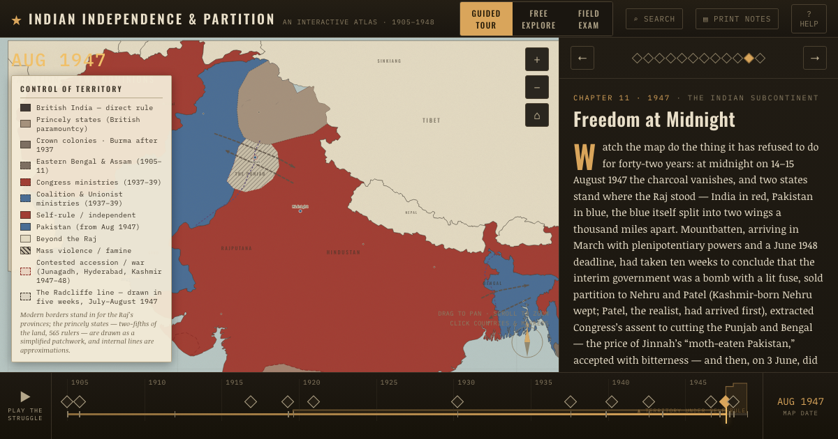
THE FREE PRINTABLE STUDY GUIDE
Get the printable study guide for Indian Independence & Partition free. I’ll send you a few short letters, then one when a new atlas opens. That’s all. — Paul
NO TRACKING · YOUR ADDRESS IS USED FOR THE DISPATCH AND NOTHING ELSE · UNSUBSCRIBE ANYTIME