Mao’s China · BATTLE SITE ·
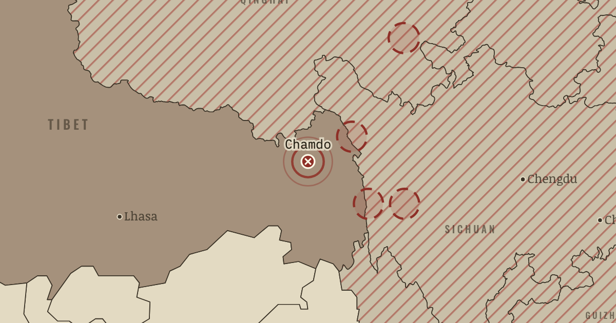
Battle of Chamdo (1950)
On the Mao’s China map as “Chamdo”
7–19 Oct 1950 — About 40,000 PLA troops cross the upper Yangtze and surround Tibet’s eastern army, some 8,000 men, at Chamdo. The governor, Ngapo Ngawang Jigme, surrenders. The Lhasa government now faces negotiations with its army broken and no help coming from Britain, India or the United Nations; it has no choice left but to negotiate.
- When
- Type
- Battle site
- Chapter
- Tibet and Xinjiang under Mao (chapter 3 of Mao’s China)
- Atlas
- The People’s Republic under Mao, 1949–1976
Chapter 3 is included with every paid plan. WW2 is free in full, and chapter 1 of every atlas is free. A free account opens 3 more chapters a day. Starter, at $9 a month, opens all 21 with no daily limit — see the plans.
In the same chapter
Related
THE FREE PRINTABLE STUDY GUIDE
Get the printable study guide for The People’s Republic under Mao free. I’ll send you a few short letters, then one when a new atlas opens. That’s all. — Paul
NO TRACKING · YOUR ADDRESS IS USED FOR THE DISPATCH AND NOTHING ELSE · UNSUBSCRIBE ANYTIME