Mao’s China · TURNING POINT ·
Qinghai–Tibet and Sichuan–Tibet highways (1954)
On the Mao’s China map as “The roads to Lhasa”
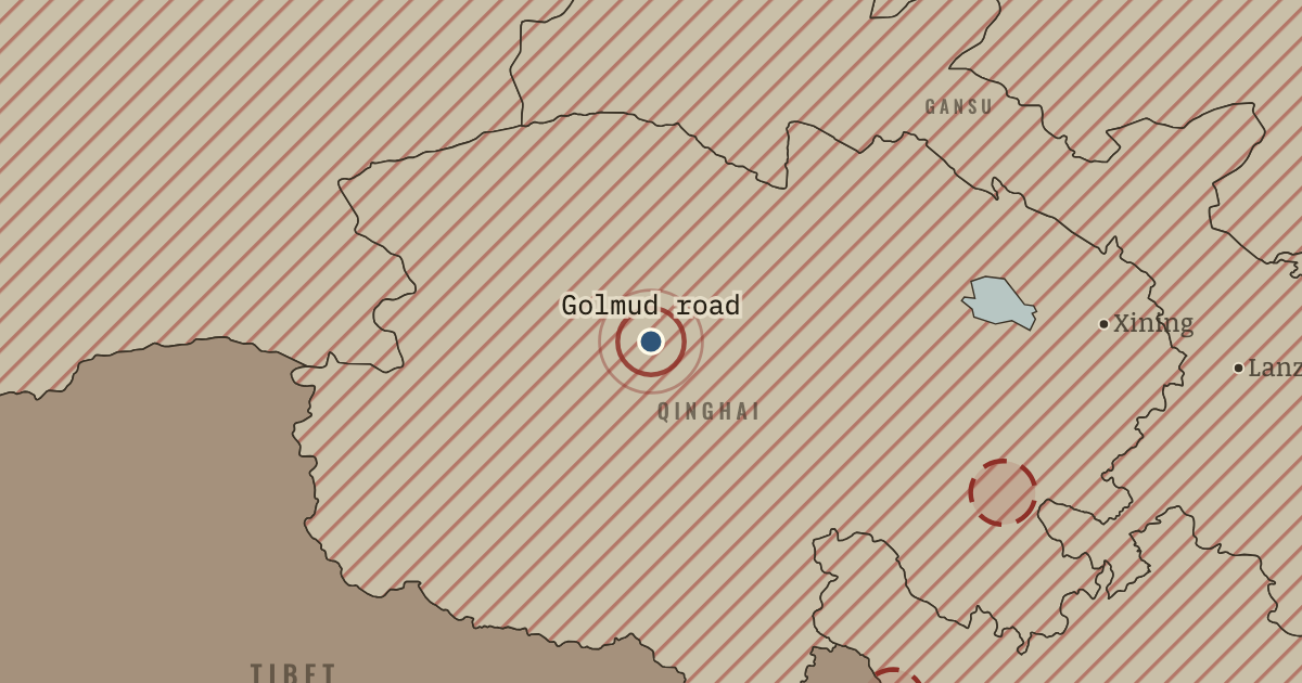
25 Dec 1954 — Two highways, the Qinghai–Tibet and Sichuan–Tibet routes, open to Lhasa. Soldiers built much of them over passes above 4,000 meters, and Golmud grew from the road-builders’ tent camp. For the first time a Chinese government can send an army and its supplies into Tibet by truck, making the 1951 agreement enforceable on Beijing’s terms.
- When
- Type
- Turning point
- Chapter
- Tibet and Xinjiang under Mao (chapter 3 of Mao’s China)
- Atlas
- The People’s Republic under Mao, 1949–1976
Chapter 3 is included with every paid plan. WW2 is free in full, and chapter 1 of every atlas is free. A free account opens 3 more chapters a day. Starter, at $9 a month, opens all 21 with no daily limit — see the plans.
In the same chapter
Related
THE FREE PRINTABLE STUDY GUIDE
Get the printable study guide for The People’s Republic under Mao free. I’ll send you a few short letters, then one when a new atlas opens. That’s all. — Paul
NO TRACKING · YOUR ADDRESS IS USED FOR THE DISPATCH AND NOTHING ELSE · UNSUBSCRIBE ANYTIME