ON THIS DAY ·
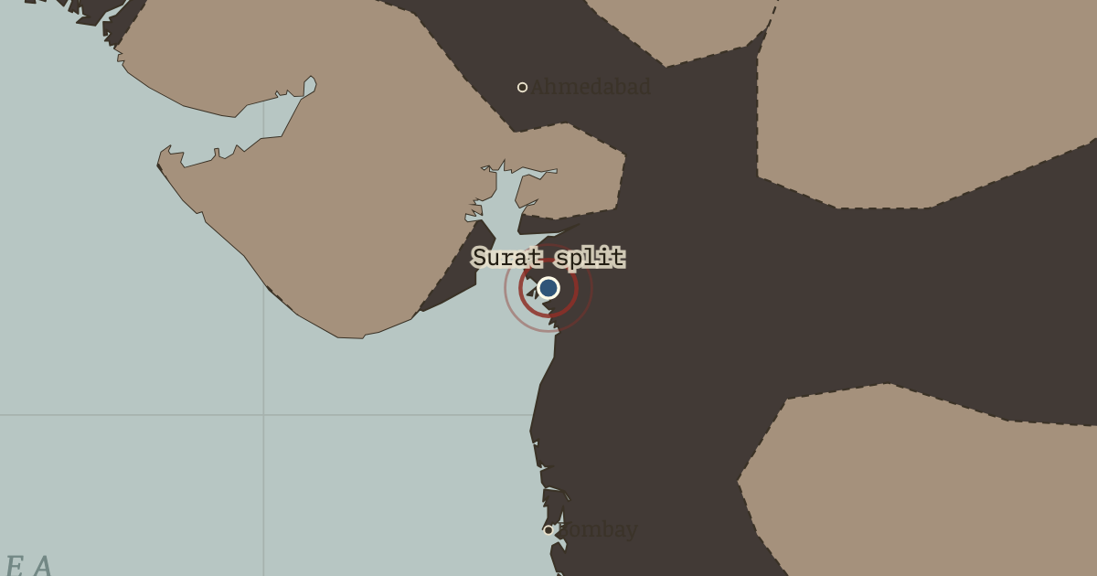
Surat split
26 Dec 1907 — At Surat, Congress broke into Moderates and Extremists. Chairs were thrown on the floor of the session, and the meeting was abandoned. The dispute over constitutional petition and mass pressure would continue until 1947.
WW2 is free in full, and chapter 1 of every atlas is free. A free account opens 3 more chapters a day. Starter, at $9 a month, opens all 21 with no daily limit — see the plans.
Free printable Indian independence study guide, sent by email ↓
The moment in context
Curzon's government faced an administrative problem in Bengal. The Raj's most populous province contained 78 million people, more than one lieutenant-governor could readily administer. In October 1905 Curzon divided it: the western half remained centered on Calcutta, while the new province of Eastern Bengal and Assam was governed from Dacca.
From Partition of Bengal and Swadeshi, chapter 4 of Indian Independence & Partition, 1857–1964 (OCT 1905).
The place: Surat split — map and full story →
Teach this in 5 minutes
- Why it happened — An administrative logic with a political edge. A province as large as Bengal presented a real administrative problem, but officials could have chosen among several boundaries. This line divided…
- The turn — 16 October 1905 — the day of the partition. Partition took legal effect on 16 October 1905. Bengal marked the day in mourning: shops closed, hearths went cold and crowds filled the Kali…
- What it changed — The Raj learns retreat is possible — and so does India. The 1911 annulment was intended to buy quiet. It also gave later campaigns a precedent: sustained agitation could move London. The Raj had never…
Then ask the room: The partition of Bengal was annulled — the agitation won. Why do historians still treat 1905 as the beginning of the road to 1947 rather than a nationalist victory story? The argued answer is on the chapter page →
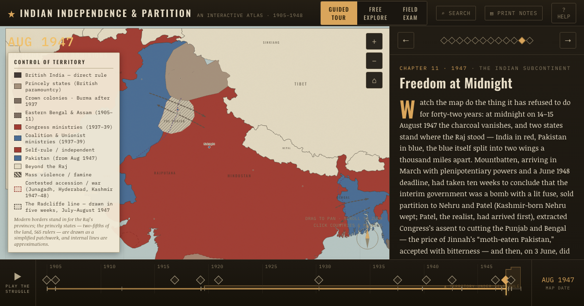
The atlas that shows it
THE FREE PRINTABLE STUDY GUIDE
Get the printable study guide for Indian Independence & Partition free. I’ll send you a few short letters, then one when a new atlas opens. That’s all. — Paul
NO TRACKING · YOUR ADDRESS IS USED FOR THE DISPATCH AND NOTHING ELSE · UNSUBSCRIBE ANYTIME