12 ATLASES
History of Bangladesh in maps
Bangladesh as it appears in 12 interactive history atlases, from 1206 to 1991: Bengal, East Bengal / East Pakistan, Bengal, British India, Bangladesh, East Pakistan. Each era below lists who ruled the land and when control changed, linked to the dated map that shows it.
WW2 is free in full, and chapter 1 of every atlas is free. A free account opens 3 more chapters a day. Starter, at $9 a month, opens all 21 with no daily limit — see the plans.
What was Bangladesh before it was Bangladesh? The sections below follow this land through every era covered by the Maps of History atlases: who ruled it, what it was called, and when control changed. Each line links to the dated map. Modern borders serve as an approximation, as each atlas says on the map itself.
Bengal (mod. Bangladesh) · Mongol Empire
| Other settled powers (Jin China, Christendom, Delhi) — the opening position |
MONGOL EMPIRE: EVERY CHAPTER AND MAP →
Bengal (mod. Bangladesh) · Industrial Revolution
Bengal was the textile capital of the eighteenth-century world, renowned for the muslins of Dhaka. The East India Company, which ruled Bengal from 1757, pressed weavers into Company contracts. Machine-made British cloth then took their markets, and Dhaka’s population fell by perhaps two-thirds in the first decades of the nineteenth century. Later, Bengal grew the jute that Calcutta’s mills spun into the world’s sacks.
| Colony or dependency — the opening position | |
| Colony or dependency |
INDUSTRIAL REVOLUTION: EVERY CHAPTER AND MAP →
Bangladesh · Meiji Japan and post-Soviet Russia
MEIJI JAPAN AND POST-SOVIET RUSSIA: EVERY CHAPTER AND MAP →
East Bengal / East Pakistan (mod. Bangladesh) · Indian independence
East Bengal was Curzon’s province in 1905 and a heartland of the League, which was founded at Dacca in 1906. The famine of 1943 made it a killing ground. From 1947 it became Pakistan’s eastern wing: most of the new state’s people lived there, but little of its power lay there. Language soon became a grievance, and the Language Movement’s martyrs fell in Dacca in 1952. The atlas ends with East Bengal blue. In 1971, at terrible cost, the wing became Bangladesh—Curzon’s line of 1905 made a nation on the third attempt.
| British India — direct rule — the opening position | |
| Pakistan (from Aug 1947) |
INDIAN INDEPENDENCE: EVERY CHAPTER AND MAP →
Bengal (British India) · WWI
| Entente-aligned & imperial territories — the opening position |
Bengal, British India (mod. Bangladesh) · Chinese Revolution
| Foreign empires — British, French, Russian, American — the opening position |
CHINESE REVOLUTION: EVERY CHAPTER AND MAP →
East Pakistan (British India until 1947) · Stalin’s Soviet Union
STALIN’S SOVIET UNION: EVERY CHAPTER AND MAP →
Bangladesh · Road to WW2
| Colonial empires & possessions — the opening position |
ROAD TO WW2: EVERY CHAPTER AND MAP →
Bangladesh · WW2
| Western Allies — the opening position |
Bangladesh · Cold War
| NATO & core Western allies — the opening position |
COLD WAR: EVERY CHAPTER AND MAP →
Bangladesh · Refugee crises
REFUGEE CRISES: EVERY CHAPTER AND MAP →
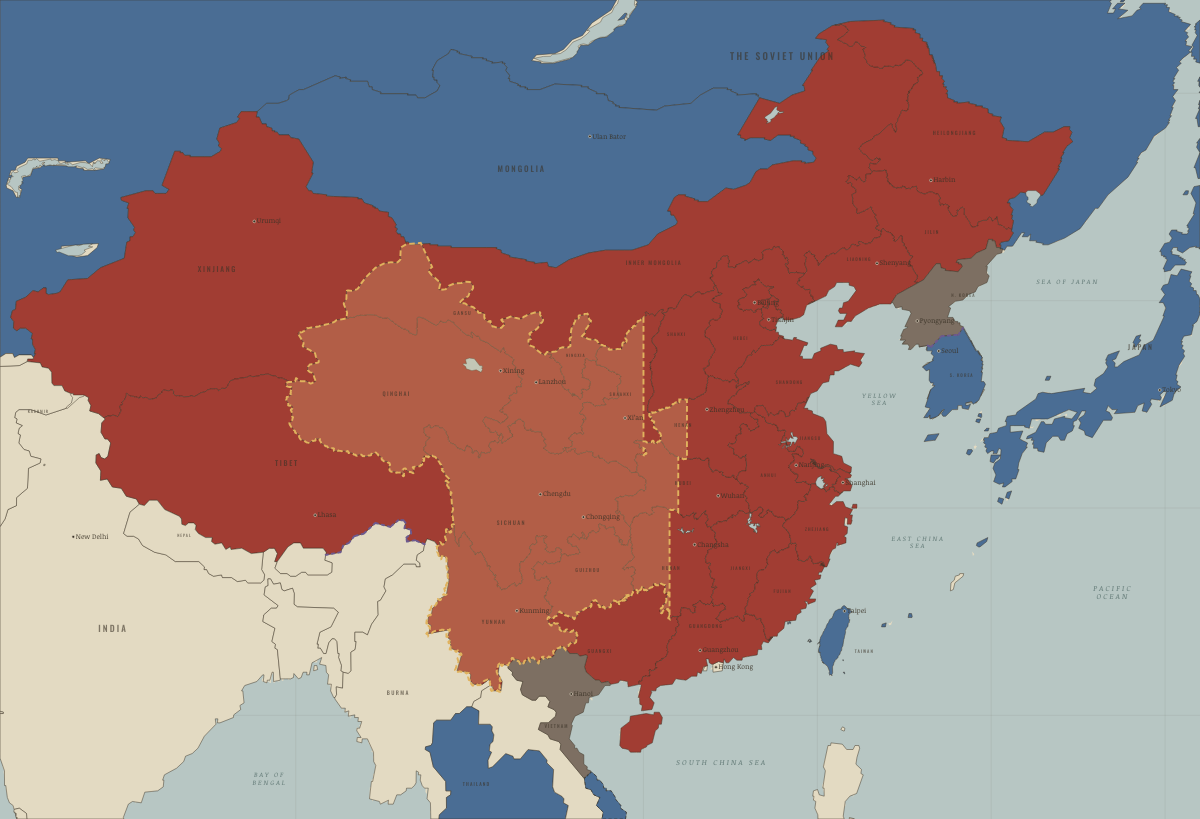
East Pakistan (Bangladesh from 1971) · Mao’s China
| Neutral, non-aligned or colonial — the opening position | |
| Beijing’s allies and friends | |
| Neutral, non-aligned or colonial |
MAO’S CHINA: EVERY CHAPTER AND MAP →
Related
THE FREE PRINTABLE STUDY GUIDE
Get a printable atlas study guide of your choice free. I’ll send you a few short letters, then one when a new atlas opens. That’s all. — Paul
NO TRACKING · YOUR ADDRESS IS USED FOR THE DISPATCH AND NOTHING ELSE · UNSUBSCRIBE ANYTIME