Mao’s China · BATTLE SITE ·
Sino-Indian War (1962)
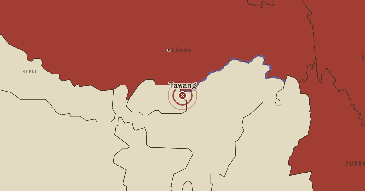
On the Mao’s China map as “Tawang”
20 Oct–21 Nov 1962 — The PLA attacks across the McMahon Line and in Ladakh, routing Indian forces. It takes Tawang and reaches the edge of the Assam plains. Beijing then declares a ceasefire and withdraws behind the line it claimed, retaining Aksai Chin and its road. About 1,400 Indian and 700 Chinese soldiers are killed.
- When
- Type
- Battle site
- Chapter
- Sino-Soviet split and Nixon in China (chapter 11 of Mao’s China)
- Atlas
- The People’s Republic under Mao, 1949–1976
- Also in
- Indian independence
Chapter 11 is included with every paid plan. WW2 is free in full, and chapter 1 of every atlas is free. A free account opens 3 more chapters a day. Starter, at $9 a month, opens all 21 with no daily limit — see the plans.
In the same chapter
Related
THE FREE PRINTABLE STUDY GUIDE
Get the printable study guide for The People’s Republic under Mao free. I’ll send you a few short letters, then one when a new atlas opens. That’s all. — Paul
NO TRACKING · YOUR ADDRESS IS USED FOR THE DISPATCH AND NOTHING ELSE · UNSUBSCRIBE ANYTIME