Mao’s China · TURNING POINT ·
Land reform in Long Bow village (1948)
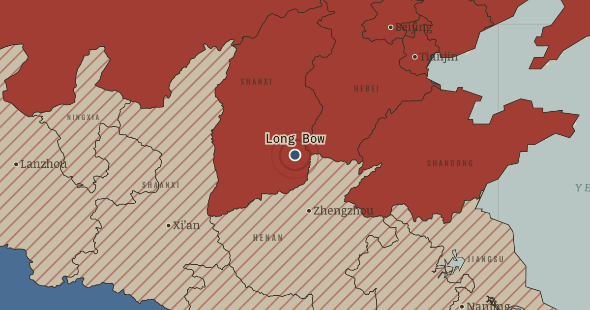
On the Mao’s China map as “Long Bow village”
1948 — In Zhangzhuang (“Long Bow”), Shanxi, the American farmer and teacher William Hinton sees a work team divide the land and hold “speak bitterness” meetings. He also watches the team correct its own excesses. His book Fanshen (1966), meaning “to turn over the body”, remains the closest record of land reform as it worked inside one village.
- When
- Type
- Turning point
- Chapter
- Mao’s consolidation and land reform (chapter 1 of Mao’s China)
- Atlas
- The People’s Republic under Mao, 1949–1976
WW2 is free in full, and chapter 1 of every atlas is free. A free account opens 3 more chapters a day. Starter, at $9 a month, opens all 21 with no daily limit — see the plans.
In the same chapter
Related
THE FREE PRINTABLE STUDY GUIDE
Get the printable study guide for The People’s Republic under Mao free. I’ll send you a few short letters, then one when a new atlas opens. That’s all. — Paul
NO TRACKING · YOUR ADDRESS IS USED FOR THE DISPATCH AND NOTHING ELSE · UNSUBSCRIBE ANYTIME