Haiti and Kenya independence · TURNING POINT ·
Port-au-Prince (1770–1915)
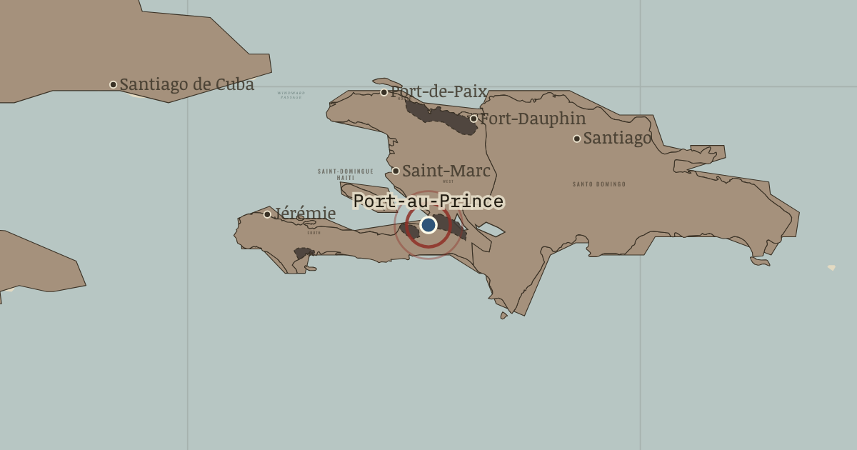
1770–1915 — Port-au-Prince became the colonial capital in 1770. Under the name Port-Républicain, it hosted the assembly that adopted Toussaint’s constitution on 9 May 1801. Here, too, President Boyer accepted France’s indemnity under Mackau’s guns in July 1825. In December 1914 US Marines removed the national bank’s gold.
- When
- Type
- Turning point
- Chapter
- Slavery in colonial Saint-Domingue (chapter 1 of Haiti and Kenya independence)
- Atlas
- Two Roads to Independence: Haiti 1789–1838 and Kenya 1895–1978
WW2 is free in full, and chapter 1 of every atlas is free. A free account opens 3 more chapters a day. Starter, at $9 a month, opens all 21 with no daily limit — see the plans.
Free printable Haiti and Kenya independence study guide, sent by email ↓
In the same chapter
Related
THE FREE PRINTABLE STUDY GUIDE
Get the printable study guide for Two Roads to Independence free. I’ll send you a few short letters, then one when a new atlas opens. That’s all. — Paul
NO TRACKING · YOUR ADDRESS IS USED FOR THE DISPATCH AND NOTHING ELSE · UNSUBSCRIBE ANYTIME