The Crusades, 1095–1291
Crusades maps by year
15 historical maps of The Crusades, 1095–1291, one for each turning point: who controlled what, and what changed since the map before.
Explore every date in the interactive atlas →
WW2 is free in full, and chapter 1 of every atlas is free. A free account opens 3 more chapters a day. Starter, at $9 a month, opens all 21 with no daily limit — see the plans.
The Crusades
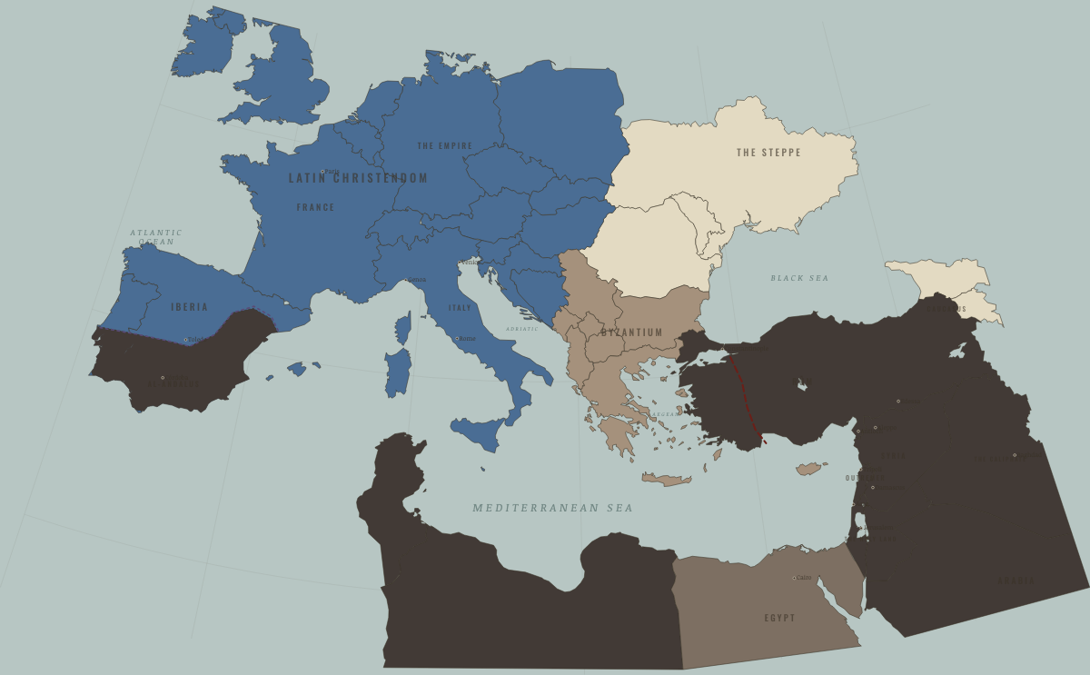
1095
THE EVE OF THE CRUSADE
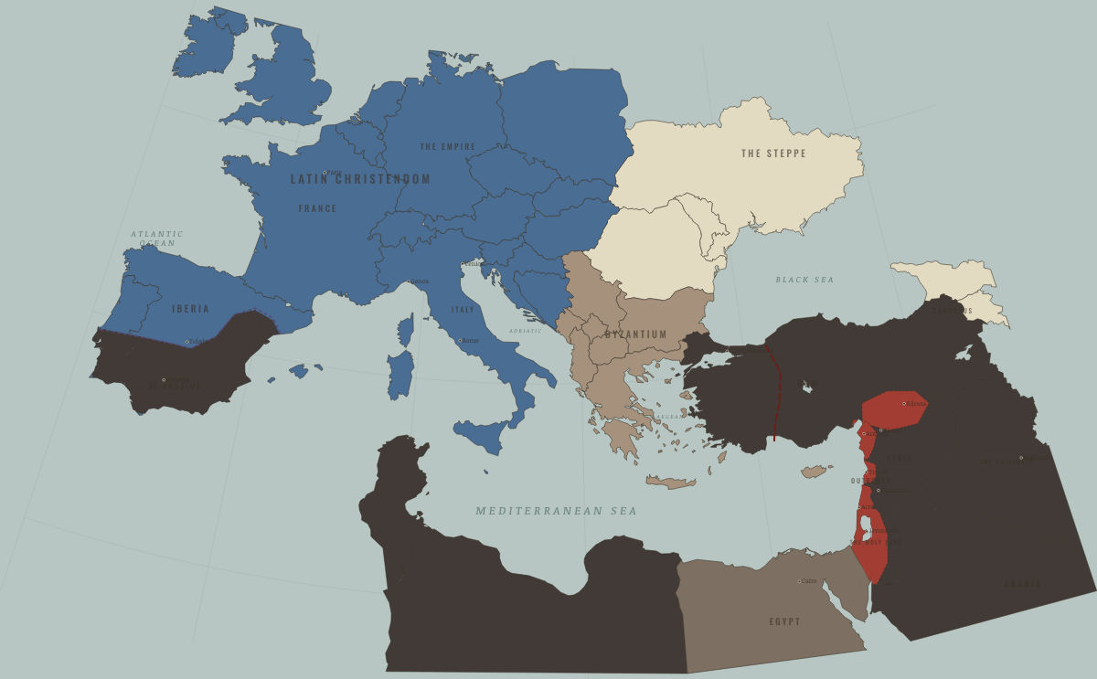
1099
THE FOUR STATES APPEAR
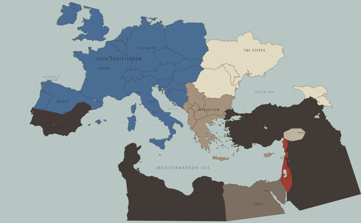
1144
EDESSA FALLS TO ZENGI
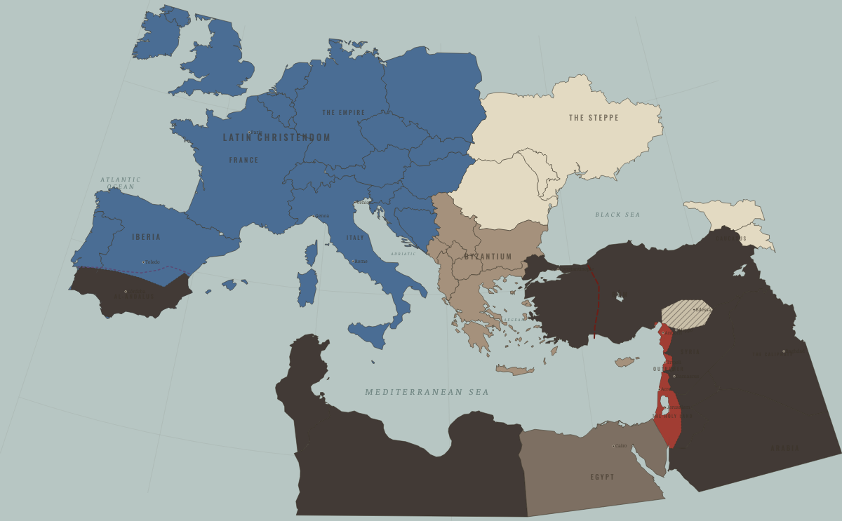
1153
ASCALON — THE PEAK OF OUTREMER
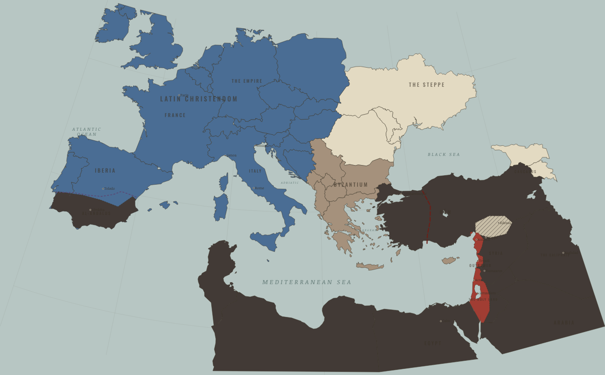
1171
SALADIN ENDS FATIMID EGYPT
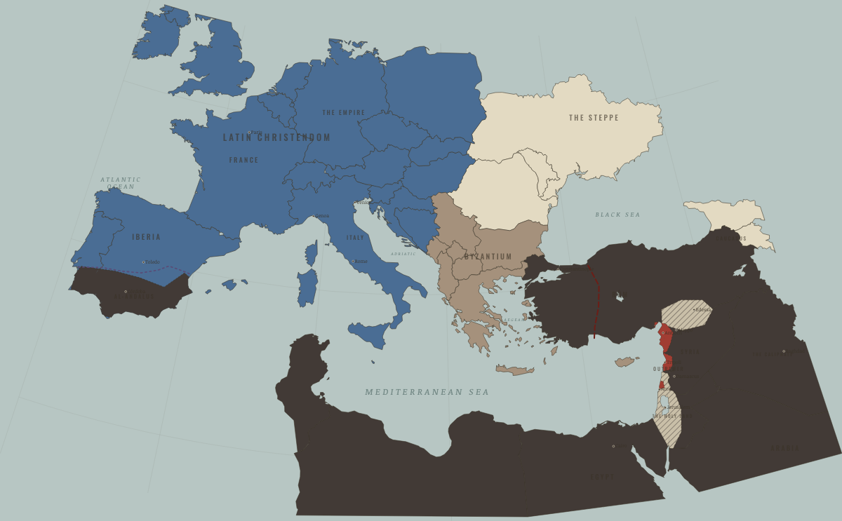
1187
HATTIN — THE KINGDOM COLLAPSES
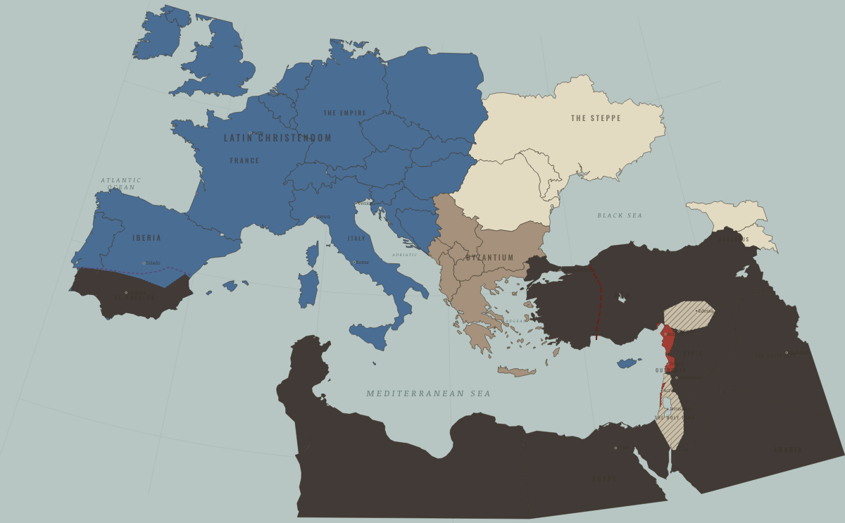
1192
THE TREATY COAST
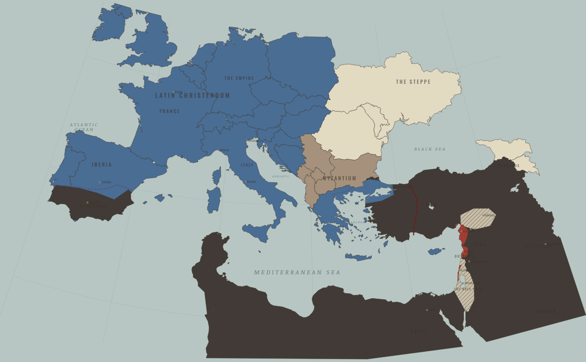
1204
THE LATIN EMPIRE OVER BYZANTIUM
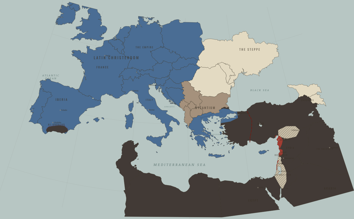
1212
LAS NAVAS — IBERIA SHIFTS
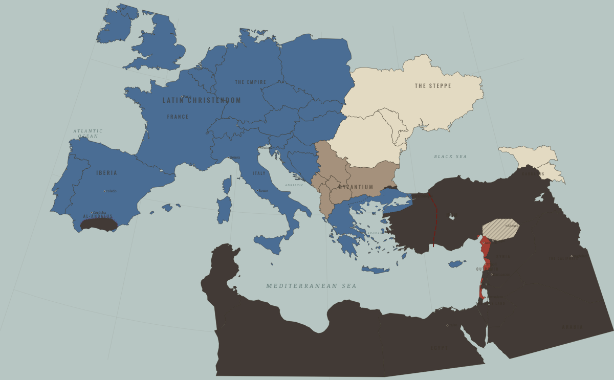
1229
FREDERICK’S JERUSALEM, BY TREATY
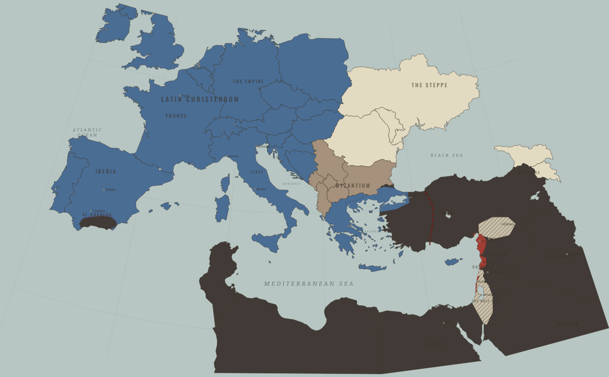
1244
JERUSALEM LOST FOR GOOD
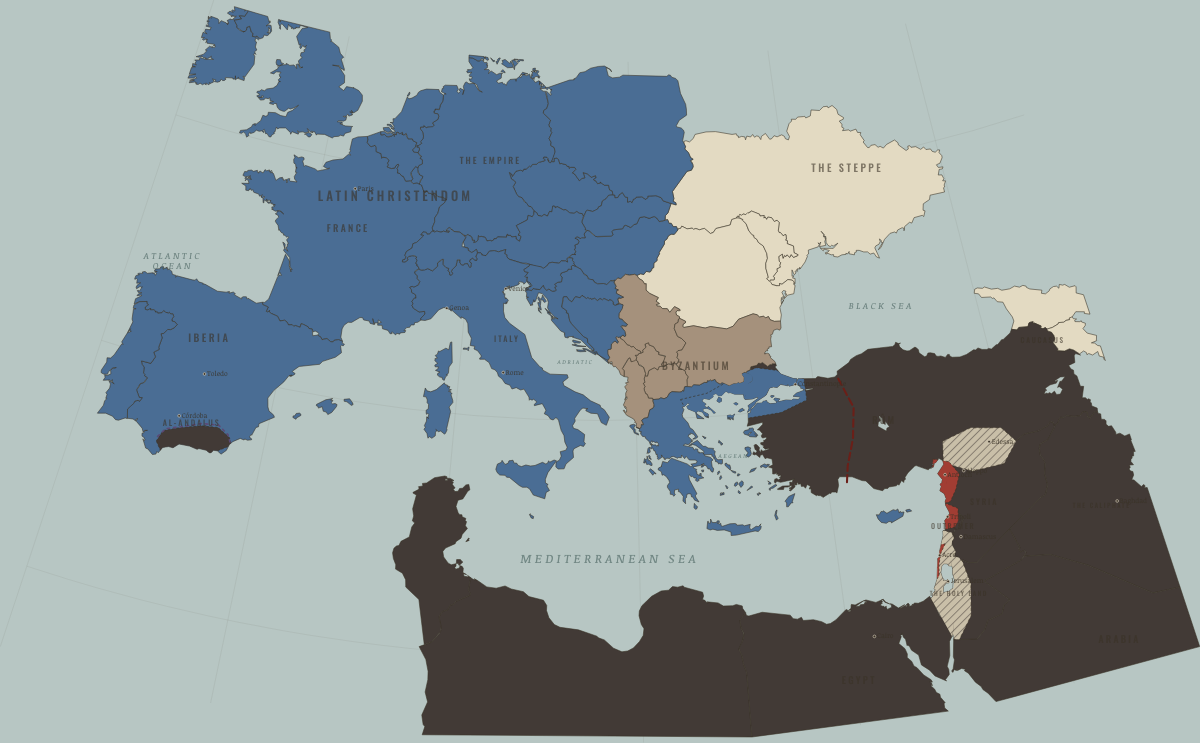
1250
THE MAMLUKS SEIZE EGYPT
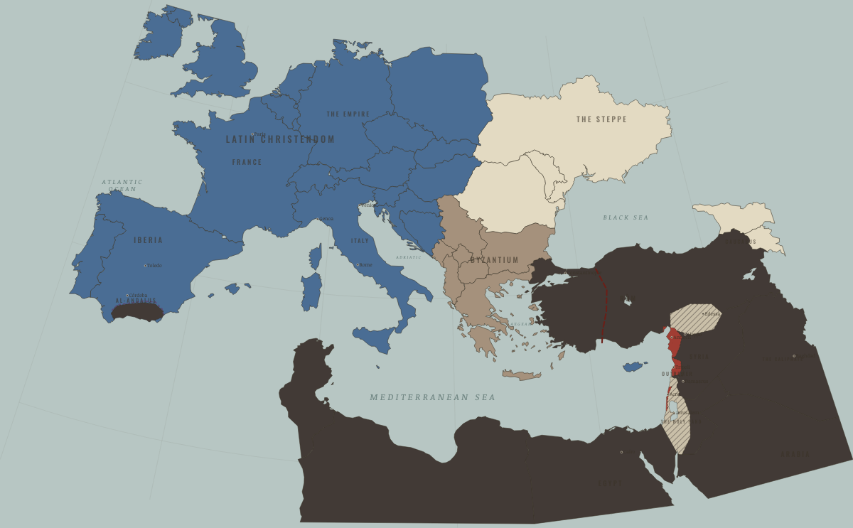
1261
BYZANTIUM RESTORED
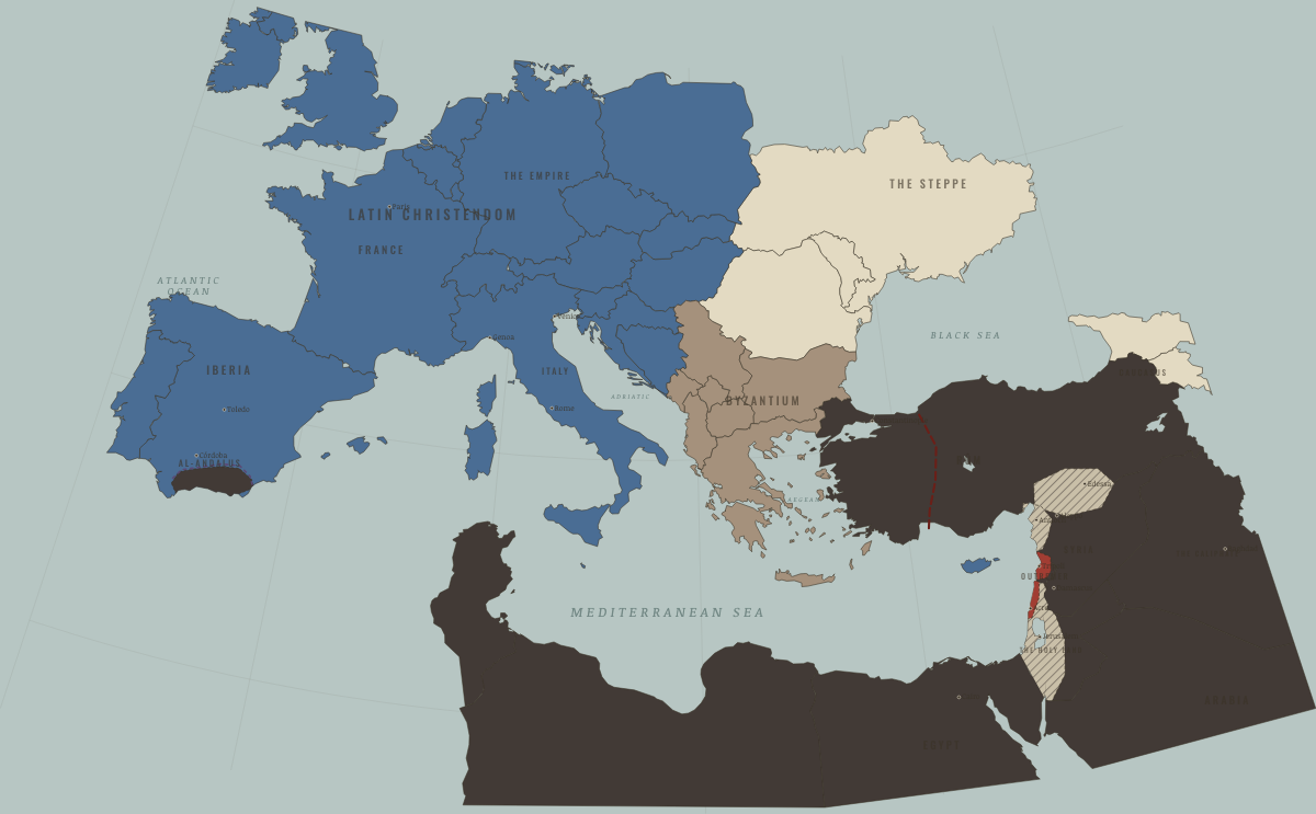
1271
AFTER BAIBARS — ANTIOCH GONE, KRAK FALLEN
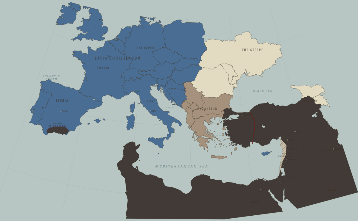
1291
ACRE FALLS — OUTREMER ENDS
Historical maps from every atlas, by year →
THE FREE PRINTABLE STUDY GUIDE
Get the printable study guide for The Crusades free. I’ll send you a few short letters, then one when a new atlas opens. That’s all. — Paul
NO TRACKING · YOUR ADDRESS IS USED FOR THE DISPATCH AND NOTHING ELSE · UNSUBSCRIBE ANYTIME