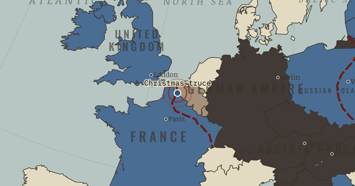
24-26 Dec 1914 — On stretches of the front, soldiers leave their positions, exchange tobacco and bury their dead. Several accounts also describe games of football. Commands on both sides ensure that the truce never happens again.
WW2 is free in full, and chapter 1 of every atlas is free. A free account opens 3 more chapters a day. Starter, at $9 a month, opens all 21 with no daily limit — see the plans.
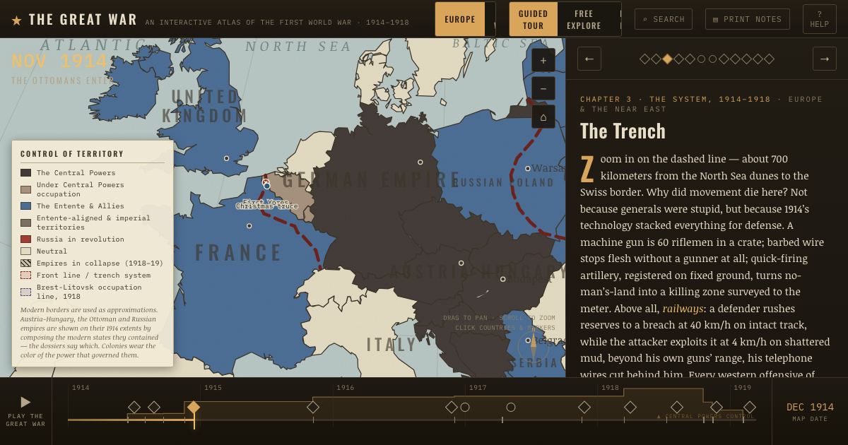
The dashed line on the map stretches roughly seven hundred kilometres from the North Sea to the Swiss border. After the campaigns of 1914, it stayed in much the same place for years. To cross the ground in front of it, infantry had to pass through wire under machine-gun and artillery fire. A defender who saw a sector threatened could bring reserves by railway; the attackers had to walk across ground torn up by shells.
Why it happened — Firepower and mobility. From 1870 to 1914, magazine rifles, machine guns and recoil-absorbing artillery greatly increased firepower. Movement and communication changed…
The turn — First Ypres, October–November 1914. At First Ypres, the outnumbered British Expeditionary Force helped stop Germany's drive toward the Channel ports. Its regular infantry paid heavily.…
What it changed — Attrition and resources. When armies could not readily break through, wearing down the enemy became central to their plans. Verdun and the Somme in 1916 made casualties and…