ON THIS DAY ·
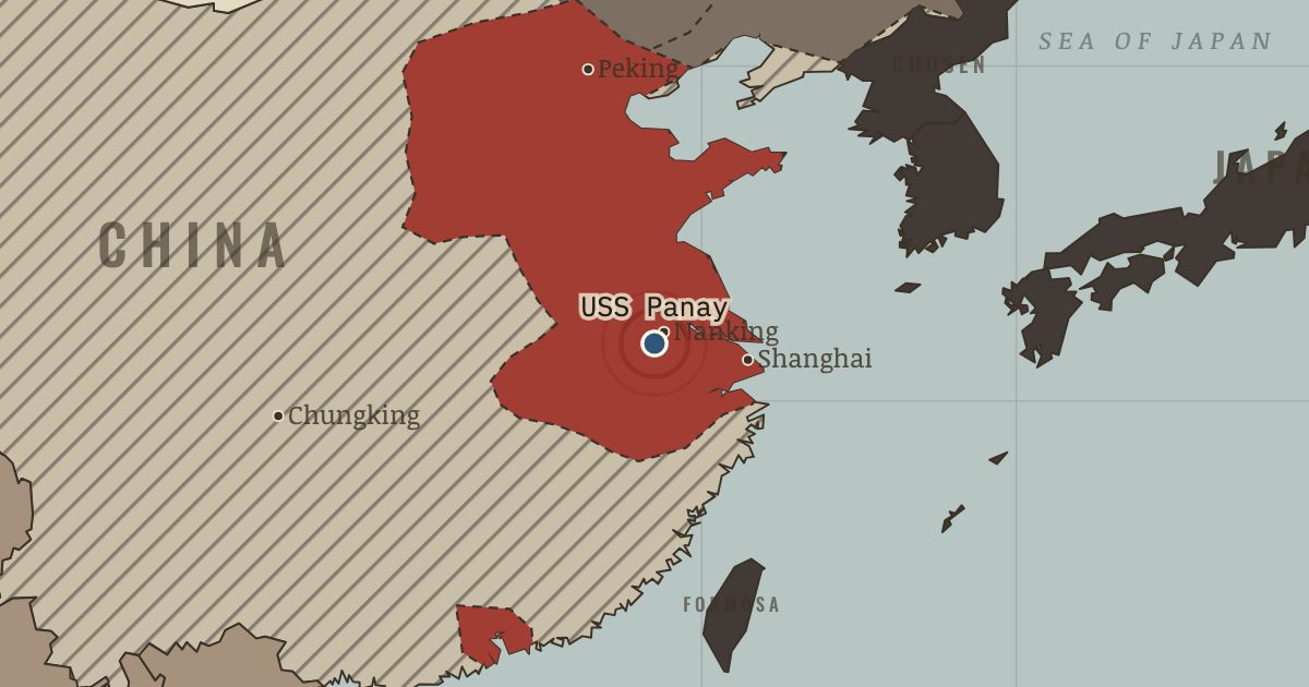
USS Panay incident
12 Dec 1937 — Japanese aircraft sink an American gunboat in daylight as it evacuates civilians up the Yangtze. Tokyo apologizes and pays compensation. Washington accepts, but remembers the attack.
WW2 is free in full, and chapter 1 of every atlas is free. A free account opens 3 more chapters a day. Starter, at $9 a month, opens all 21 with no daily limit — see the plans.
The moment in context
On 7 July 1937 Japanese and Chinese troops exchanged fire near the Marco Polo Bridge outside Peking. Local officers negotiated, but the fighting spread. To understand why, we have to look at what each side had learned from earlier encounters. Japanese field commanders had seen Tokyo accept an unauthorized advance at Mukden; Chinese leaders had seen concessions followed by further demands. Sending reinforcements offered each side security, while making the other more fearful.
From Second Sino-Japanese War, chapter 6 of The Road to War, 1931–1941 (1938).
The place: USS Panay incident — map and full story →
Teach this in 5 minutes
- Why it happened — Xi’an and the demand for resistance. Chiang had concentrated on fighting the Communists while Japan took Manchuria and Jehol and extended its influence in north China. In December 1936…
- The turn — The Marco Polo Bridge, 7 July 1937. A Japanese soldier was briefly missing when troops exchanged fire at the bridge. The encounter became a general war, but its outcome was not settled…
- What it changed — The war turns Japanese attention south. The China war absorbed about a million Japanese troops. Holding occupied territory required men and supplies, while the resources consumed exceeded…
Then ask the room: Was Chiang’s retreat into the interior a strategy, or an excuse for defeat? The argued answer is on the chapter page →
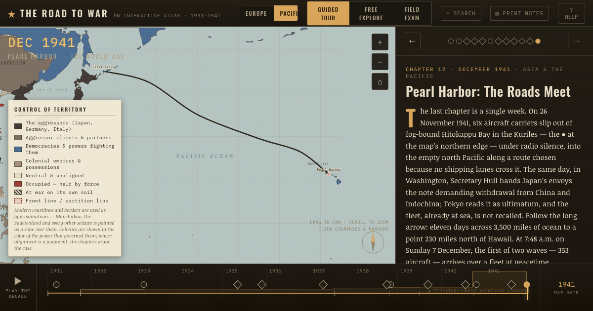
The atlas that shows it
THE FREE PRINTABLE STUDY GUIDE
Get the printable study guide for The Road to War free. I’ll send you a few short letters, then one when a new atlas opens. That’s all. — Paul
NO TRACKING · YOUR ADDRESS IS USED FOR THE DISPATCH AND NOTHING ELSE · UNSUBSCRIBE ANYTIME