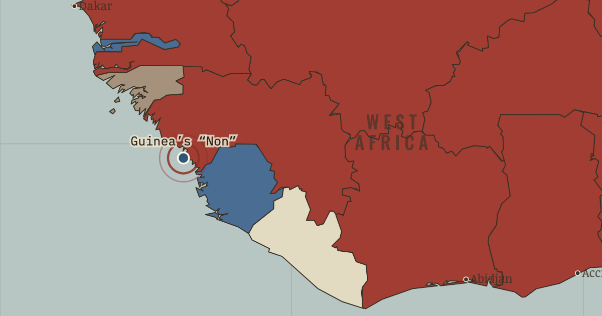
2 Oct 1958 — Sékou Touré’s Guinea stands alone in rejecting de Gaulle’s Community: “We prefer poverty in freedom to riches in slavery.” Within weeks France withdraws its files and telephones, taking even the light bulbs.
WW2 is free in full, and chapter 1 of every atlas is free. A free account opens 3 more chapters a day. Starter, at $9 a month, opens all 21 with no daily limit — see the plans.
2 OCTOBER 1958 · THE DECOLONIZATION OF AFRICA, 1945–1994
The moment in context
Why did so many African territories reach independence in the same year? Part of the answer lies in a French law passed four years earlier. The 1956 loi-cadre gave elected territorial assemblies and African executives real authority. Leaders including Houphouët-Boigny and Senghor had already governed as ministers. When sovereignty arrived, several territories had governments ready to receive it; the change of flag completed a transfer of power already well advanced.
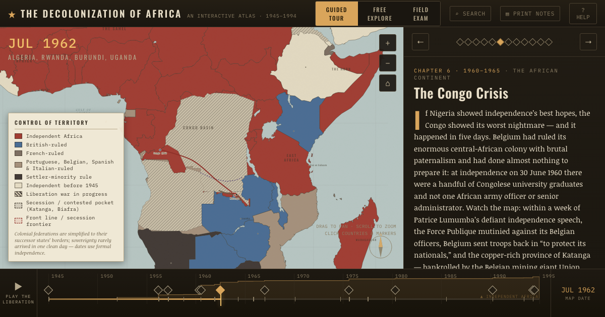
From Year of Africa, chapter 5 of The Decolonization of Africa, 1945–1994 (JUL 1960).
Why it happened — The framework law and African governments. France’s 1956 loi-cadre made elected territorial assemblies and African executives responsible for real affairs. Houphouët-Boigny and Senghor were…
The turn — Lagos, 1 October 1960 — Nigeria becomes independent. Nigeria lowered the Union Jack on 1 October 1960. Africa’s most populous nation brought some 250 peoples together in a federation of three regions,…
What it changed — New voices at the UN. The states that became independent in 1960 helped give the Afro-Asian bloc a permanent majority in the UN General Assembly. They used that platform…
Then ask the room: Why did seventeen countries become independent in the single year 1960 — and was the speed a triumph or a problem? The argued answer is on the chapter page →
Get the printable study guide for The Decolonization of Africa free. I’ll send you a few short letters, then one when a new atlas opens. That’s all. — Paul
NO TRACKING · YOUR ADDRESS IS USED FOR THE DISPATCH AND NOTHING ELSE ·
UNSUBSCRIBE ANYTIME