MAPS OF HISTORY · ON THIS DAY · October 1 · 1960
ON THIS DAY · 1 OCTOBER 1960
Lagos — Nigeria at midnight
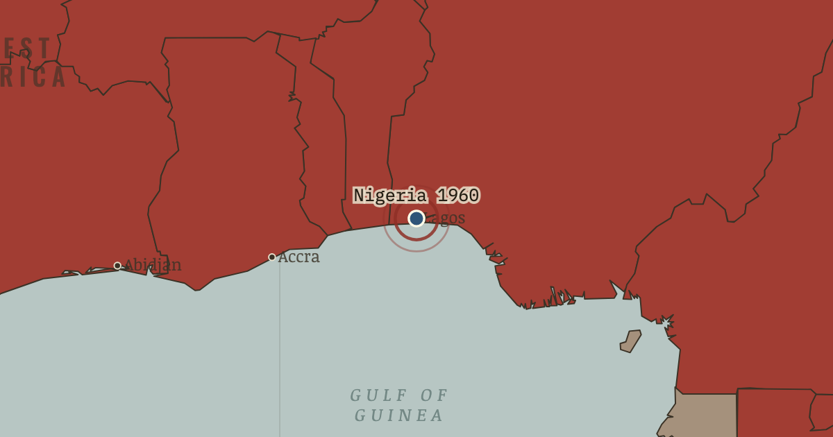
1 Oct 1960 — The most populous nation in Africa — a federation of three regions and 250 peoples — lowers the Union Jack. Its scale makes it the continent’s great federal experiment, and its deepest fault line.
THE MOMENT IN CONTEXT
The mechanics of 1960 begin with France’s 1956 framework law, the loi-cadre, which devolved real power to elected territorial assemblies and African executives. Men such as Houphouët-Boigny and Senghor had already governed as ministers, so when full sovereignty arrived it was less a rupture than the final step of a handover mostly complete, and that is why so many territories could change colour at once. The wave then fed on itself. After Ghana, and with the General Assembly increasingly hostile to colonialism, holding out began to look like the aberration rather than the norm, and both superpowers courted the states about to be born.
From Chapter 5 — The Year of Africa of The Decolonization of Africa, 1945–1994 (JUL 1960).
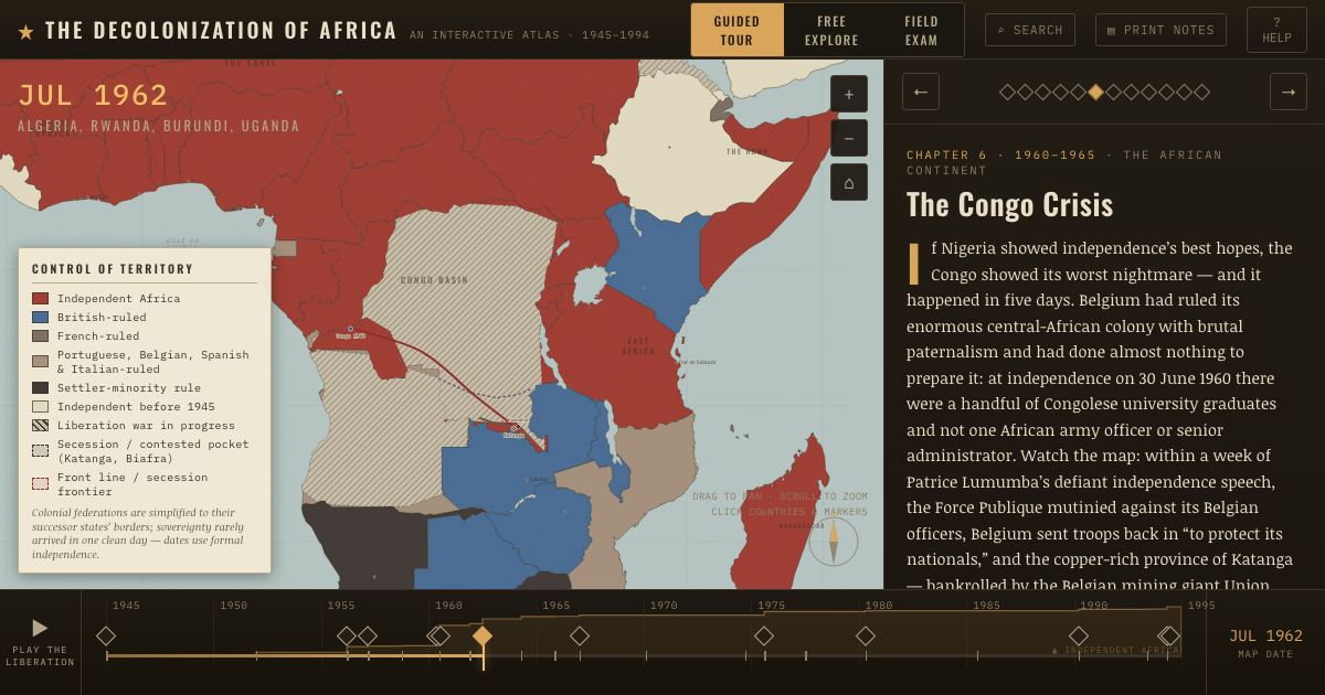
OPEN THE INTERACTIVE MAP →New here? Chapters 1–2 of every atlas are free to sample, and the WW2 atlas is free in full. One membership opens all thirteen — the Cartographer’s Circle.
TEACH THIS IN 5 MINUTES
- Why it happened — The loi-cadre alumni. France’s 1956 framework law devolved real power to elected territorial assemblies and African executives. Men like Houphouët-Boigny and Senghor who…
- The turn — Lagos, 1 October 1960 — the giant rises. Nigeria. The most populous nation in Africa, a federation of three regions and some 250 peoples. Lowers the Union Jack. Its sheer scale makes it the…
- What it changed — A new majority at the UN. The class of 1960 transformed the United Nations, giving the Afro-Asian bloc a permanent majority in the General Assembly and making decolonization…
Then ask the room: Why did seventeen countries become independent in the single year 1960 — and was the speed a triumph or a problem? The argued answer is on the chapter page →
THE ATLAS THAT SHOWS IT
THE DISPATCH
One short letter when a new atlas opens — and the printable study guide for The Decolonization of Africa is yours now, free.
NO TRACKING · YOUR ADDRESS IS USED FOR THE DISPATCH AND NOTHING ELSE · UNSUBSCRIBE ANYTIME