ON THIS DAY ·
Siege of Ascalon
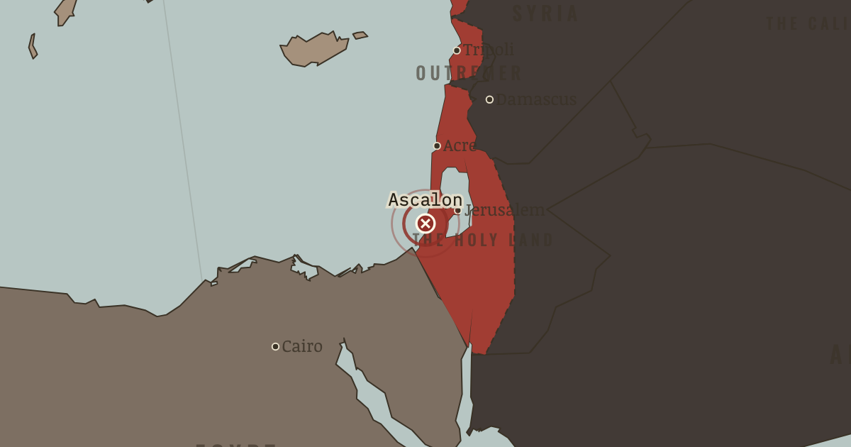
19 Aug 1153 — after a seven-month siege, Ascalon, the last Fatimid fortress on the coast, surrenders. The Kingdom of Jerusalem has reached its greatest extent. From this point, its territory on the map only shrinks.
WW2 is free in full, and chapter 1 of every atlas is free. A free account opens 3 more chapters a day. Starter, at $9 a month, opens all 21 with no daily limit — see the plans.
The moment in context
Outremer’s rulers faced a problem that shaped the way they defended their conquests. Perhaps a few hundred thousand Franks lived across the four states, among a much larger native population. There were too few settlers to occupy the countryside densely. Instead, they concentrated their strength at places from which they could control roads and watch the frontier.
From Crusader states (Outremer), chapter 3 of The Crusades, 1095–1291 (1150).
The place: Siege of Ascalon — map and full story →
Teach this in 5 minutes
- Why it happened — The tyranny of numbers. Perhaps a few hundred thousand Franks lived in the four states, ruling a much larger native population. Their numbers could not sustain dense…
- The turn — Ascalon, 1153 — the high-water mark. The last Fatimid fortress on the coast, Ascalon fell in 1153. Its capture brought the kingdom to its widest extent, but the new ground also had to…
- What it changed — A brittle strength. A castle could hold up an attacker, but it needed supplies and might need relief. The loss of a field army would leave the narrow kingdom little…
Then ask the room: Was Outremer a colonial society, a frontier society, or something for which we have no clean word? The argued answer is on the chapter page →
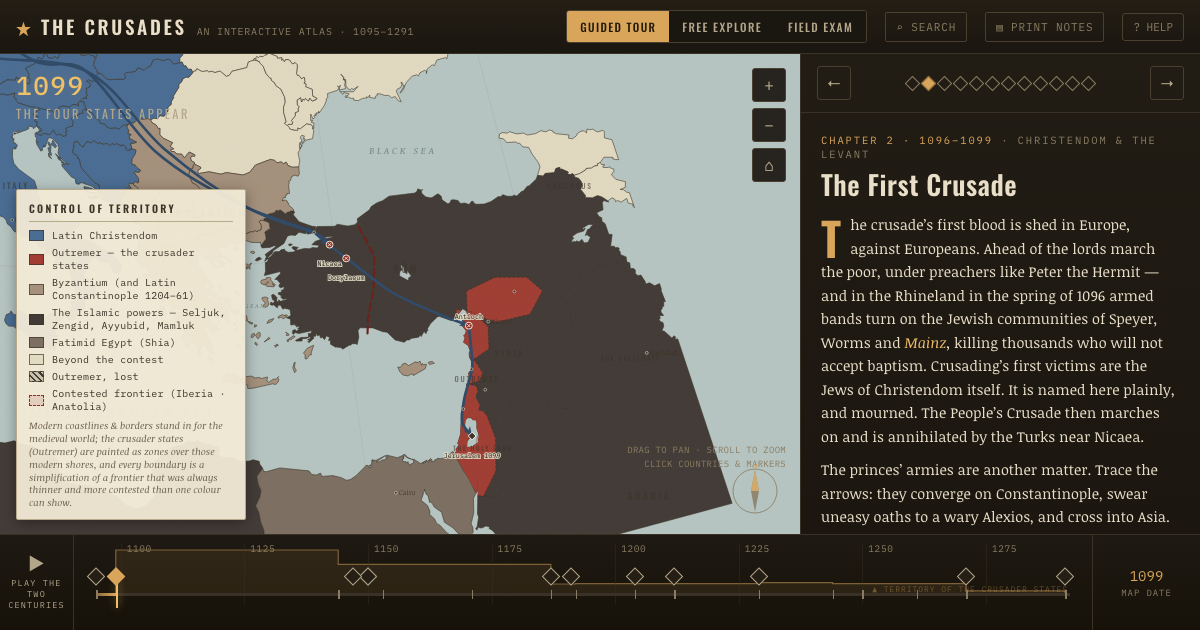
The atlas that shows it
THE FREE PRINTABLE STUDY GUIDE
Get the printable study guide for The Crusades free. I’ll send you a few short letters, then one when a new atlas opens. That’s all. — Paul
NO TRACKING · YOUR ADDRESS IS USED FOR THE DISPATCH AND NOTHING ELSE · UNSUBSCRIBE ANYTIME