MAPS OF HISTORY · ON THIS DAY · April 25 · 1915
ON THIS DAY · 25 APRIL 1915
Gallipoli
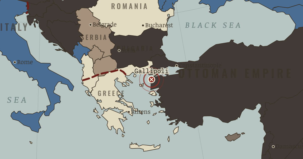
25 Apr 1915-9 Jan 1916 — Allied troops — Anzacs among them — cling to beachheads under the ridgelines for eight months, and never take them. ~56,000 Allied and ~56,000 Ottoman dead; two nations, Australia and Turkey, date themselves from these cliffs.
THE MOMENT IN CONTEXT
With the Western Front blocked, both coalitions looked elsewhere for a decision. Germany used poison gas at Ypres and opened the age of chemical warfare. Italy joined the Entente in exchange for promised Austro-Hungarian territory and began a long series of attacks along the Isonzo river. At Gallipoli, Allied forces tried to force the Dardanelles, resupply Russia and drive the Ottoman Empire out of the war, but the Ottoman defenders held the ridges and the operation ended in evacuation.
From Chapter 4 — The Widening War of The Great War, 1914–1918 (NOV 1915).
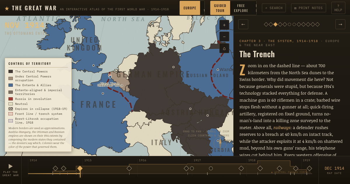
OPEN THE INTERACTIVE MAP →New here? Chapters 1–2 of every atlas are free to sample, and the WW2 atlas is free in full. One membership opens all thirteen — the Cartographer’s Circle.
TEACH THIS IN 5 MINUTES
- Why it happened — The “easterner” temptation. If the Western Front is a wall, said London’s easterners, go around: the Dardanelles, Salonika, Mesopotamia. The logic was real — knock out weak…
- The turn — Gorlice–Tarnów, 2 May 1915. The war’s most consequential forgotten battle: a four-hour hurricane bombardment on a narrow front — the method later perfected everywhere — and the…
- What it changed — Russia wounded where it cannot heal. The army recovers — 1916 will prove it — but the home front does not: refugees choke the cities, inflation eats wages, and the Tsar at headquarters…
Then ask the room: Gallipoli: a brilliant strategy ruined by execution, or a bad idea rescued by nothing? The argued answer is on the chapter page →
THE ATLAS THAT SHOWS IT
THE DISPATCH
One short letter when a new atlas opens — and the printable study guide for WWI is yours now, free.
NO TRACKING · YOUR ADDRESS IS USED FOR THE DISPATCH AND NOTHING ELSE · UNSUBSCRIBE ANYTIME