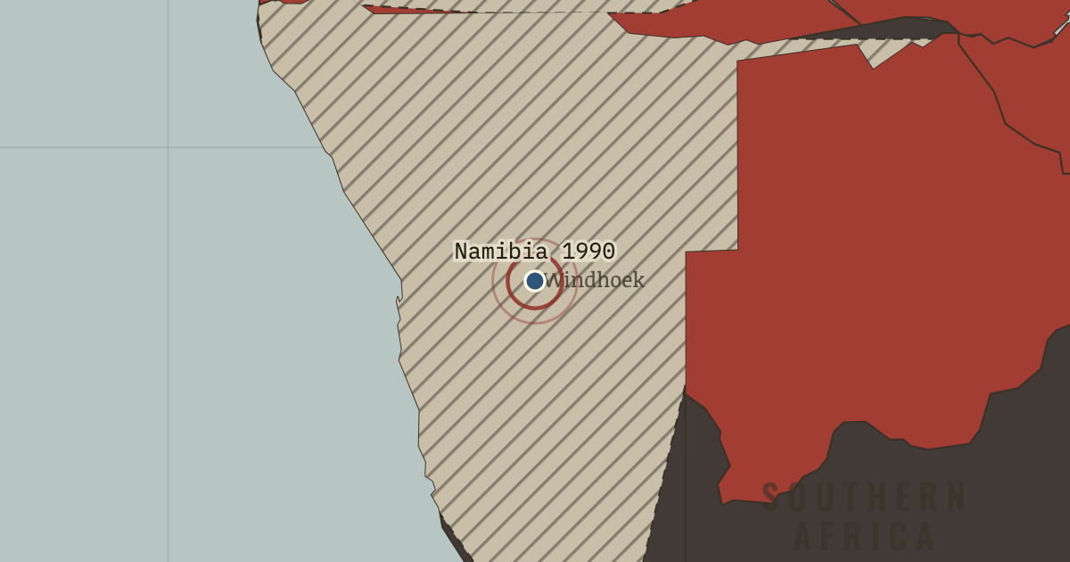
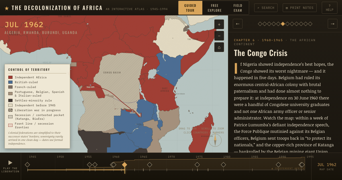
21 Mar 1990 — Sam Nujoma’s SWAPO takes office in Namibia after 75 years of South African rule and 23 years of war. Africa’s last colony is free; apartheid South Africa alone remains.
WW2 is free in full, and chapter 1 of every atlas is free. A free account opens 3 more chapters a day. Starter, at $9 a month, opens all 21 with no daily limit — see the plans.
21 MARCH 1990 · THE DECOLONIZATION OF AFRICA, 1945–1994
The moment in context
To understand why minority rule lasted so long in southern Africa, consider what a handover meant to the people who held power. Rhodesia’s quarter-million whites and South Africa’s much larger settler population controlled land, mines, and government, and regarded the region as their only home. Like Algeria’s settlers, they feared that majority rule would cost them everything. For decades they chose defiance, sanctions, and war over the compromises that had brought independence farther north.
Why it happened — Why settler rule endured. Rhodesia’s quarter-million whites and South Africa’s much larger settler population held land, mines, and political power in a region they…
The turn — Cuito Cuanavale, 1987–88 — a disputed turning point. South Africa sent its heaviest armor against Angolan and Cuban forces around the ruined town of Cuito Cuanavale. The fighting ended in a standstill,…
What it changed — Zimbabwe and the land question. Zimbabwe’s independence under Mugabe was a peaceful transfer achieved after a long war. Lancaster House made it possible, but its ten-year land…
Then ask the room: Why did settler rule in southern Africa survive decades longer than colonialism elsewhere — and what combination of pressures finally ended it? The argued answer is on the chapter page →
Get the printable study guide for The Decolonization of Africa free. I’ll send you a few short letters, then one when a new atlas opens. That’s all. — Paul
NO TRACKING · YOUR ADDRESS IS USED FOR THE DISPATCH AND NOTHING ELSE ·
UNSUBSCRIBE ANYTIME