The American Civil War, 1840–1877 · THE MAP IN
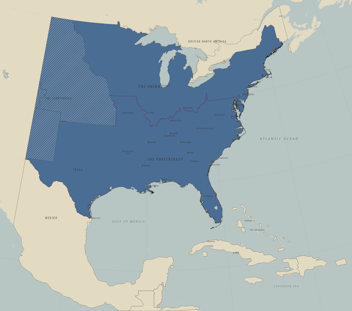
Map of the United States in June 1854
Gadsden and Kansas–Nebraska
The United States in June 1854: Gadsden and Kansas–Nebraska. Since September 1850, 1 territory changed status on this map: Mexico.
Open this map in the interactive atlas →
WW2 is free in full, and chapter 1 of every atlas is free. A free account opens 3 more chapters a day. Starter, at $9 a month, opens all 21 with no daily limit — see the plans.
Free printable American Civil War study guide, sent by email ↓
What changes on the map
| Mexico | Mexico, 1840–54 → Neighbors & the outside world |
On the ground
- On 30 May 1854, the 36°30′ line was repealed, leaving slavery in the Kansas and Nebraska territories to a vote of the settlers. Within two years, Kansas had become a battlefield.
- Popular sovereignty left the Utah and New Mexico territories open to slavery. Utah legalized servitude in 1852, and New Mexico passed a slave code in 1859. A federal law barred slavery from every territory on 19 June 1862.
Related maps
THE FREE PRINTABLE STUDY GUIDE
Get the printable study guide for The American Civil War free. I’ll send you a few short letters, then one when a new atlas opens. That’s all. — Paul
NO TRACKING · YOUR ADDRESS IS USED FOR THE DISPATCH AND NOTHING ELSE · UNSUBSCRIBE ANYTIME