MAPS OF HISTORY · ON THIS DAY · December 20 · 1860
ON THIS DAY · 20 DECEMBER 1860
Secession
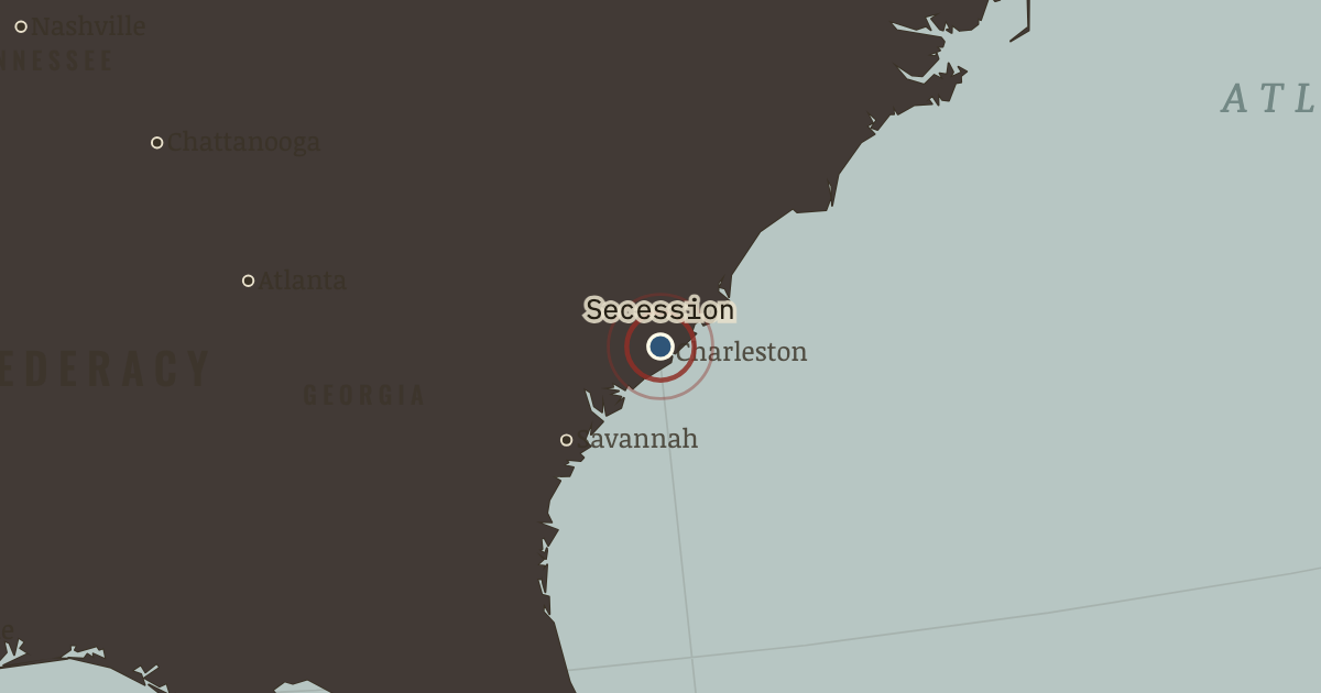
20 Dec 1860 — South Carolina’s convention votes 169–0 to leave the Union, citing in its own declaration “an increasing hostility… to the institution of slavery.” Six more states follow by February.
THE MOMENT IN CONTEXT
The long interval before Lincoln could take office is the first thing that shaped secession, because the Constitution then left a president-elect waiting until March. Buchanan held that secession was illegal and that the federal government was also powerless to prevent it, a doctrine that produced complete paralysis. Into that gap the Deep South acted: South Carolina and six other states seized federal arsenals and forts, met at Montgomery to write a constitution that guaranteed slavery, and made secession an accomplished fact. Lincoln refused the last great compromise, the Crittenden proposal, because it would have allowed slavery to expand, which was the single issue his election had settled.
From Chapter 2 — Secession Winter of The American Civil War, 1861–1865 (APR 1861).
OPEN THE INTERACTIVE MAP →New here? Chapters 1–2 of every atlas are free to sample, and the WW2 atlas is free in full. One membership opens all thirteen — the Cartographer’s Circle.
TEACH THIS IN 5 MINUTES
- Why it happened — A four-month vacuum of power. The Constitution then left presidents-elect waiting until March. Buchanan held that secession was illegal but that coercion was also illegal. A…
- The turn — Fort Sumter, 12–14 April 1861. The bombardment killed no one in combat and changed everything: it turned a constitutional dispute into a rebellion under fire, brought four more…
- What it changed — The upper South flips — and doubles the war. Virginia brings the Tredegar Iron Works (the South’s only great foundry), Robert E. Lee, and a border on Washington itself. The capital moves to…
Then ask the room: Lincoln could have evacuated Sumter and bought time — many advisers urged exactly that. Was provoking the crisis a mistake? The argued answer is on the chapter page →
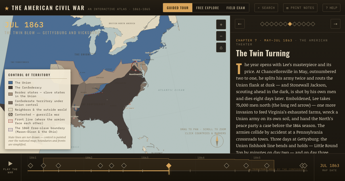
THE ATLAS THAT SHOWS IT
THE DISPATCH
One short letter when a new atlas opens — and the printable study guide for The American Civil War is yours now, free.
NO TRACKING · YOUR ADDRESS IS USED FOR THE DISPATCH AND NOTHING ELSE · UNSUBSCRIBE ANYTIME