ON THIS DAY ·
Battle of Leyte Gulf
Leyte Gulf, the largest naval battle ever fought, ends with the Japanese fleet finished as a fighting force — and the first kamikaze units committed.
WW2 is free — every chapter. No sign-up.
The moment in context
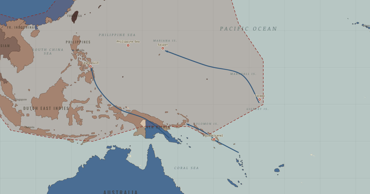
The fighting at Guadalcanal showed both what an Allied advance could achieve and what it might cost. Beginning in August 1942, the first sustained Allied ground offensive of the Pacific war drew men, ships and aircraft from both sides into six months of fighting. Tropical disease added enormously to the losses. When Japan evacuated the island in February 1943, the Allies had pushed back its perimeter. Yet a campaign that required a similar struggle for every defended island would be terribly expensive.
From Pacific island-hopping campaign, chapter 11 of The War Room — WW2, 1936–1945 (NOV 1943).
Teach this in 5 minutes
- Why it happened — Distance and supply. A Pacific offensive needed support over immense distances. Tankers carried fuel, floating dry docks repaired ships, and Seabee battalions built…
- The turn — Guadalcanal, August 1942–February 1943. Guadalcanal drew both sides into six months of fighting on land, at sea and in the air. Japan's evacuation in February 1943 gave the Allies…
- What it changed — A shrinking perimeter. The red line retreats as the Allies take the Gilberts, Marshalls and Marianas in sequence. Each captured position helps expose the next. Behind that…
Then ask the room: Why isolate a fortress such as Rabaul, with its roughly 100,000-man garrison, instead of assaulting it? The argued answer is on the chapter page →
The atlas that shows it
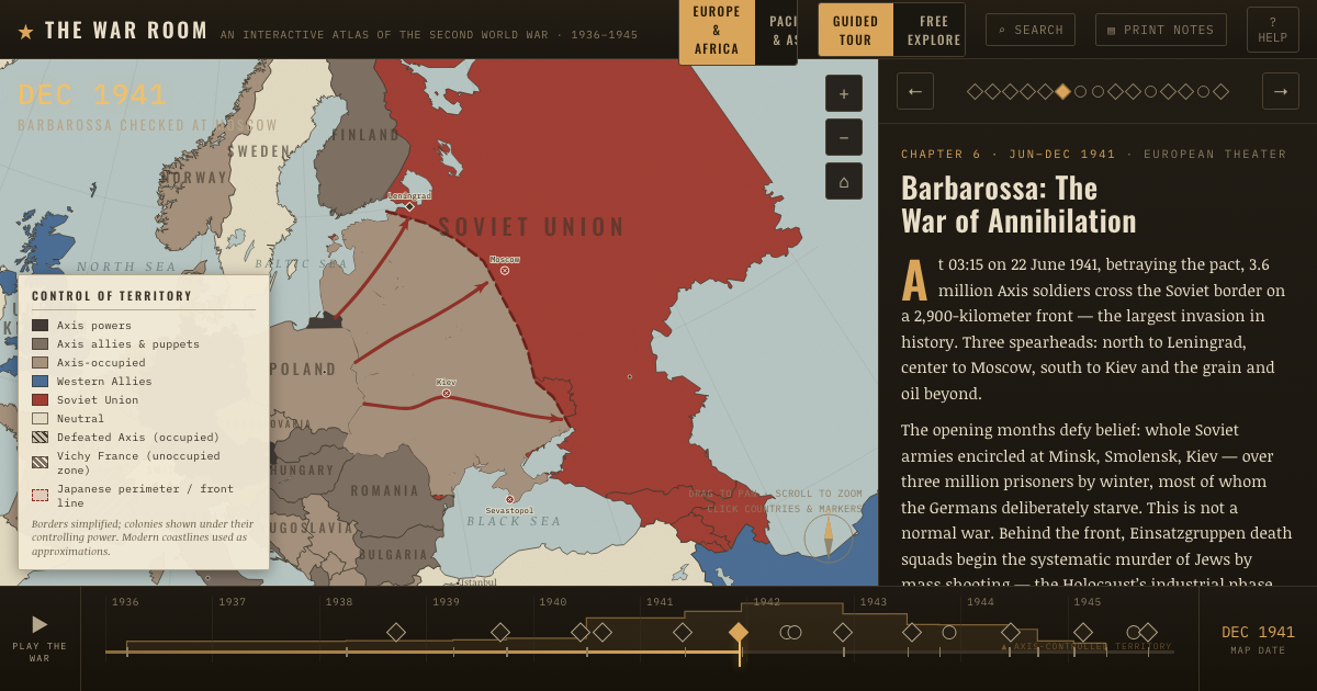
THE FREE PRINTABLE STUDY GUIDE
Get the printable study guide for WW2 free. I’ll send you a few short letters, then one when a new atlas opens. That’s all. — Paul
NO TRACKING · YOUR ADDRESS IS USED FOR THE DISPATCH AND NOTHING ELSE · UNSUBSCRIBE ANYTIME