ON THIS DAY ·
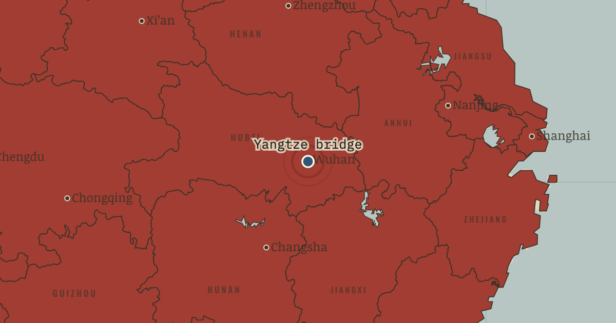
Wuhan Yangtze River Bridge
15 Oct 1957 — The first bridge across the Yangtze opens, connecting the Beijing and Guangzhou railways in a single line. Previously every train traveling between north and south had to cross by ferry. Soviet engineers helped build the bridge in two years; in June 1956, while its piers were still unfinished, Mao swam the river below them and wrote a poem about it.
WW2 is free in full, and chapter 1 of every atlas is free. A free account opens 3 more chapters a day. Starter, at $9 a month, opens all 21 with no daily limit — see the plans.
The moment in context
The Korean War narrowed China’s choices at the very moment its leaders wanted to industrialize. An American-led embargo barred trade with China and closed access to Western technology. The Soviet Union offered designs, machinery and about 10,000 specialists over the decade. China’s leaders trusted the Soviet example; after the war it was also the only model available. They adopted it with little debate.
From China’s First Five-Year Plan, chapter 4 of The People’s Republic under Mao, 1949–1976 (1956).
The place: Wuhan Yangtze River Bridge — map and full story →
Teach this in 5 minutes
- Why it happened — The war closed every other door. The Korean War left China subject to an American trade embargo and dependent on Soviet weapons, loans and advice. Moscow offered the blueprints,…
- The turn — The “high tide”, July 1955. On 31 July 1955 Mao put the pace of collectivization in the hands of a campaign rather than cautious planners. They had envisaged fifteen years;…
- What it changed — The Leap forward from the Plan. The Plan built industry faster than agriculture, and Mao came to regard the Soviet model as too slow and bureaucratic for China. From 1958 he sought…
Then ask the room: Was the First Five-Year Plan a success, and for whom? The argued answer is on the chapter page →
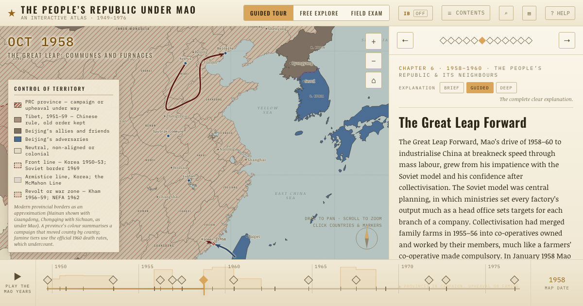
The atlas that shows it
THE FREE PRINTABLE STUDY GUIDE
Get the printable study guide for The People’s Republic under Mao free. I’ll send you a few short letters, then one when a new atlas opens. That’s all. — Paul
NO TRACKING · YOUR ADDRESS IS USED FOR THE DISPATCH AND NOTHING ELSE · UNSUBSCRIBE ANYTIME