ON THIS DAY ·
Treaty of Rawalpindi
8 Aug 1919 — A month of border war ended with Britain signing away its control over Afghanistan’s foreign policy. On the map, the parchment northwest corner becomes sovereign: the first piece of the imperial glacis to break off.
WW2 is free in full, and chapter 1 of every atlas is free. A free account opens 3 more chapters a day. Starter, at $9 a month, opens all 21 with no daily limit — see the plans.
Free printable Indian independence study guide, sent by email ↓
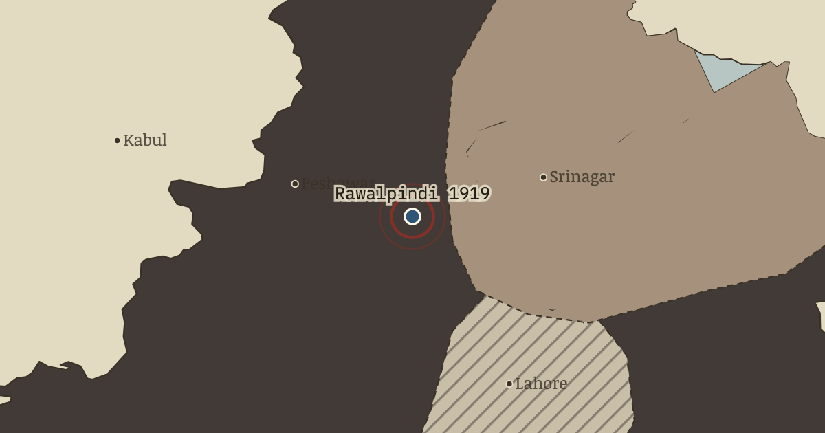
The moment in context
India had helped Britain fight a war presented as a defence of liberty. Peace brought an unsettling answer to those who expected that service to earn greater freedom. The Rowlatt Act carried wartime emergency powers into peacetime, permitting detention without trial and trial without jury in political cases. Gandhi called the first all-India satyagraha, a general strike known as a hartal. Cities from Lahore to Madras shut down. The protest brought the subcontinent into common action on a scale it had not seen before.
From Amritsar massacre, chapter 6 of Indian Independence & Partition, 1857–1964 (APR 1919).
The place: Treaty of Rawalpindi — map and full story →
Teach this in 5 minutes
- Why it happened — Rowlatt: the insult of permanence. No one was ever prosecuted under the Rowlatt Act, but Indians did not have to wait for its application to see what it meant. After a war said to…
- The turn — Jallianwala Bagh, 13 April 1919. At Jallianwala Bagh, ten minutes of fire into a walled garden became a test of Britain’s claim to rule by law. The Raj might conceivably have…
- What it changed — Gandhi captures the national movement. Gandhi could now make a moral as well as a strategic case for non-cooperation. If the Raj was force presented as law, Indians who cooperated helped…
Then ask the room: The Hunter Commission censured Dyer and he was retired from active command. Why was that punishment worse than none at all? The argued answer is on the chapter page →
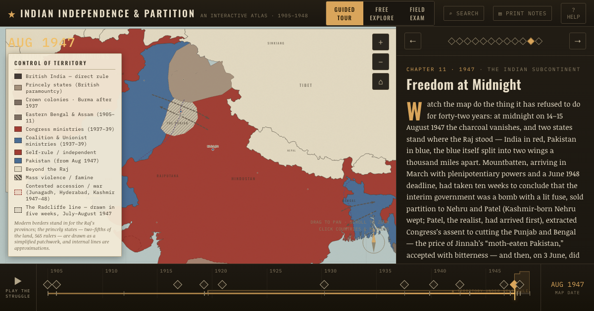
The atlas that shows it
THE FREE PRINTABLE STUDY GUIDE
Get the printable study guide for Indian Independence & Partition free. I’ll send you a few short letters, then one when a new atlas opens. That’s all. — Paul
NO TRACKING · YOUR ADDRESS IS USED FOR THE DISPATCH AND NOTHING ELSE · UNSUBSCRIBE ANYTIME