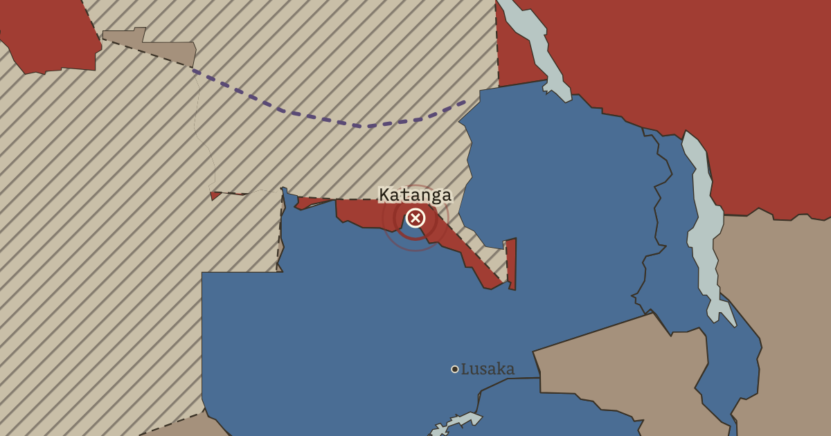
11 Jul 1960 — Moïse Tshombe declares the copper-rich south independent, with backing from Belgium’s Union Minière. The secession protects a mining fortune rather than a nation. Ending it will take four years and the UN’s first war.
WW2 is free in full, and chapter 1 of every atlas is free. A free account opens 3 more chapters a day. Starter, at $9 a month, opens all 21 with no daily limit — see the plans.
11 JULY 1960 · THE DECOLONIZATION OF AFRICA, 1945–1994
The moment in context
The Congo became independent on 30 June 1960, but the institutions handed to its leaders had been built to serve Belgian rule. Belgium had restricted African education and political life and kept senior positions for its own officials. The new government had sovereignty without the preparation to exercise it. In the Force Publique, Belgian officers still commanded the colonial army; its soldiers mutinied, and Belgium used the disorder as grounds to send troops back.
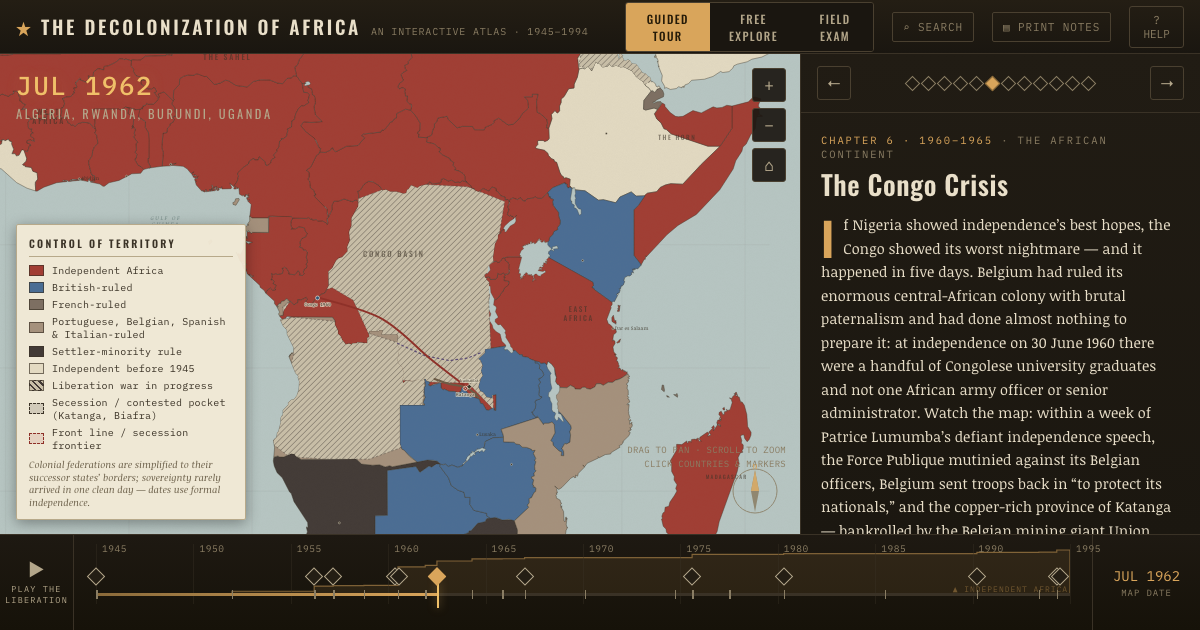
From Congo Crisis, chapter 6 of The Decolonization of Africa, 1945–1994 (JUL 1962).
Why it happened — A colony left unprepared. Belgian rule restricted African education and suppressed political life in the belief that a contented, uneducated population would not demand…
The turn — Katanga secedes, 11 July 1960. On 11 July 1960, eleven days after independence, Tshombe declared mineral-rich Katanga a separate state. Union Minière supplied money; Belgian…
What it changed — Lumumba’s murder. The elected premier’s removal and killing involved Western powers and made him a martyr across the Third World. To African leaders his fate showed…
Then ask the room: Was the Congo catastrophe caused mainly by Belgian misrule, by Cold War intervention, or by the Congo’s own divisions — and why does it matter which? The argued answer is on the chapter page →
Get the printable study guide for The Decolonization of Africa free. I’ll send you a few short letters, then one when a new atlas opens. That’s all. — Paul
NO TRACKING · YOUR ADDRESS IS USED FOR THE DISPATCH AND NOTHING ELSE ·
UNSUBSCRIBE ANYTIME