MAPS OF HISTORY · ON THIS DAY · July 3 · 1863
ON THIS DAY · 3 JULY 1863
Gettysburg
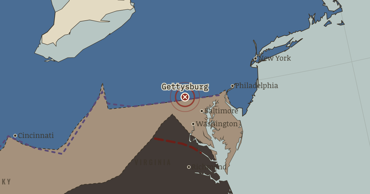
1–3 Jul 1863 — Three days and 51,000 casualties: the fishhook line holds Little Round Top by minutes, and on the third day Pickett’s 12,000 walk a mile of open ground into massed guns. Lee never invades the North again.
THE MOMENT IN CONTEXT
Lee invaded Pennsylvania to feed an exhausted army, shake Northern confidence, and force a decision away from ravaged Virginia. The two armies met at Gettysburg largely by accident, and the Union troops formed a strong defensive line and held both flanks. On 3 July the Confederate assault remembered as Pickett’s Charge crossed nearly a mile of open ground under artillery and rifle fire, and about half the attackers fell. Lee withdrew with his army damaged but still intact, its offensive power spent for good.
From Chapter 7 — The Twin Turning of The American Civil War, 1861–1865 (JUL 1863).
OPEN THE INTERACTIVE MAP →New here? Chapters 1–2 of every atlas are free to sample, and the WW2 atlas is free in full. One membership opens all thirteen — the Cartographer’s Circle.
TEACH THIS IN 5 MINUTES
- Why it happened — Why Lee rolled the dice again. He told Davis the choice was stark: stand still and starve slowly behind the Rappahannock, or invade and force a decision while the army still had…
- The turn — Vicksburg, 4 July 1863. Gettysburg is the war’s most famous battle. Vicksburg is its more decisive one. Gettysburg repelled. The Army of Northern Virginia escaped to fight…
- What it changed — The Confederacy is halved. Scrub the map forward and watch the trans-Mississippi (Texas, Arkansas, west Louisiana) fade from the war: still charcoal, but strategically an…
Then ask the room: Pickett’s Charge has become the war’s emblem of doomed valor. Was it a blunder, or a calculated risk that failed? The argued answer is on the chapter page →
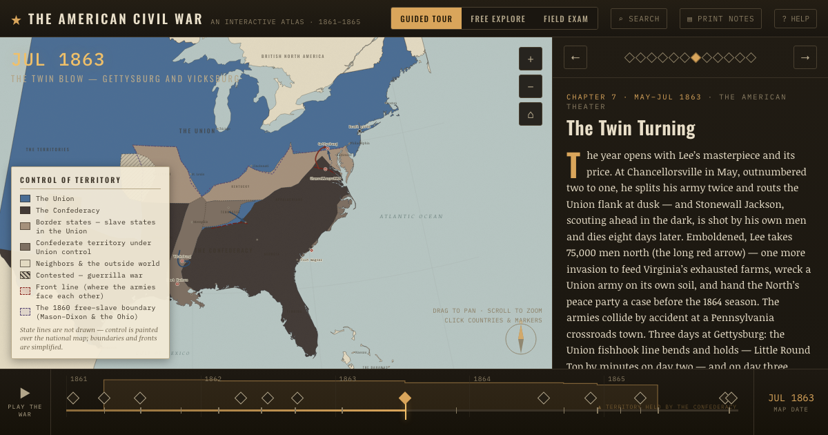
THE ATLAS THAT SHOWS IT
THE DISPATCH
One short letter when a new atlas opens — and the printable study guide for The American Civil War is yours now, free.
NO TRACKING · YOUR ADDRESS IS USED FOR THE DISPATCH AND NOTHING ELSE · UNSUBSCRIBE ANYTIME