ON THIS DAY ·
Armistice at Compiègne
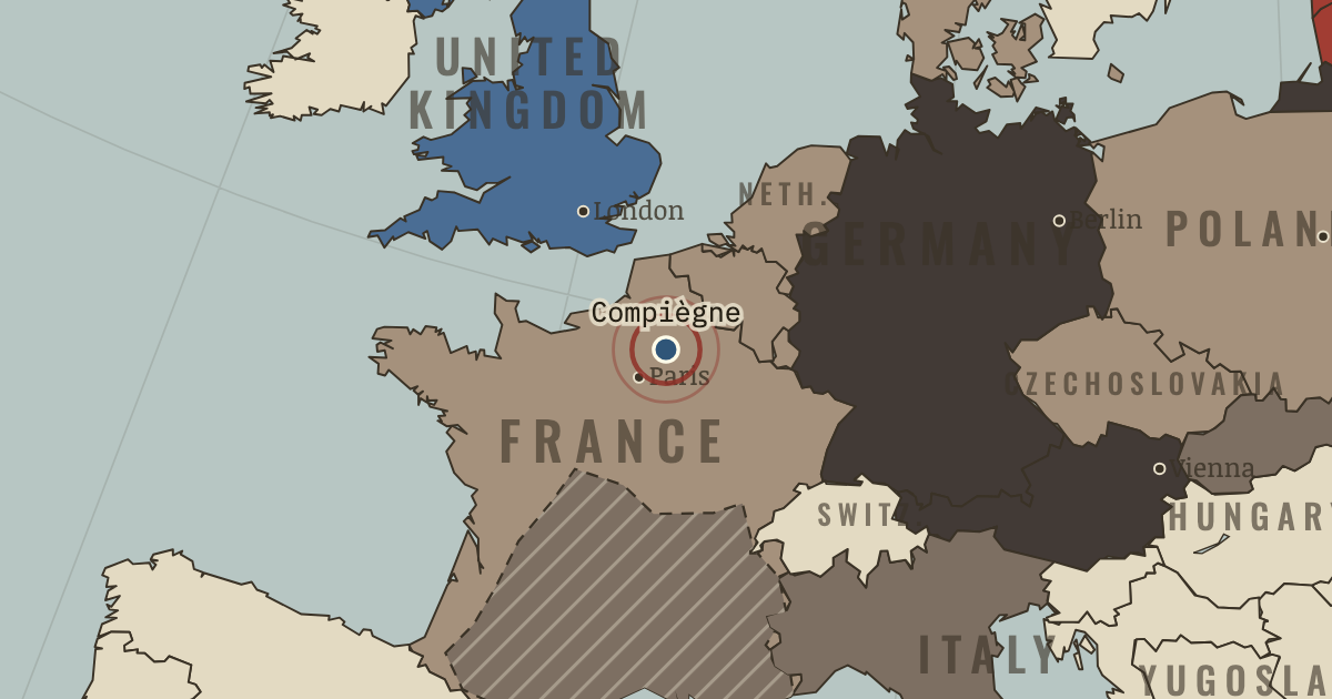
22 Jun 1940 — At Compiègne, France signs an armistice in the railway carriage where Germany’s 1918 surrender was signed.
WW2 is free — every chapter. No sign-up.
The moment in context
Germany’s invasion of Norway in 1940 had an immediate purpose. Swedish iron ore reached the sea through Narvik in winter, and control of Norway protected that route. Norwegian ports and airfields also gave Germany bases facing the Atlantic. The campaign brought a loss as well as a gain: the German navy lost warships that would have mattered when an invasion of Britain was considered later that year.
From Fall of France, chapter 3 of The War Room — WW2, 1936–1945 (JUN 1940).
The place: Armistice at Compiègne — map and full story →
Teach this in 5 minutes
- Why it happened — Concentrating the armor. France had many capable tanks and assigned much of its armor to infantry support. Germany brought tanks and other arms together in formations…
- The turn — The crossing at Sedan, 13–15 May. On 13–15 May German forces crossed the Meuse at Sedan under concentrated air attack. French command was too slow to organize a counterattack, and…
- What it changed — Trained troops survive. A pause in the German advance and the Luftwaffe’s failure helped about 338,000 Allied troops escape from Dunkirk. Britain abandoned much equipment…
Then ask the room: France had more tanks and artillery, and comparable manpower. Why did its armies collapse so quickly? The argued answer is on the chapter page →
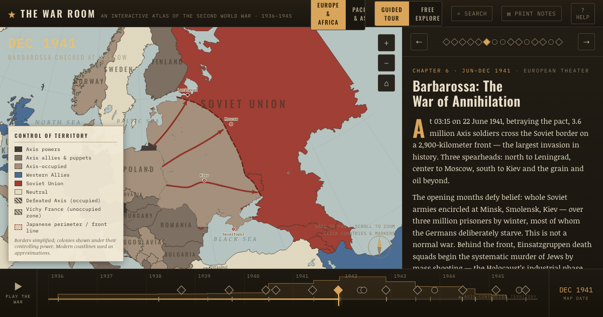
The atlas that shows it
THE FREE PRINTABLE STUDY GUIDE
Get the printable study guide for WW2 free. I’ll send you a few short letters, then one when a new atlas opens. That’s all. — Paul
NO TRACKING · YOUR ADDRESS IS USED FOR THE DISPATCH AND NOTHING ELSE · UNSUBSCRIBE ANYTIME