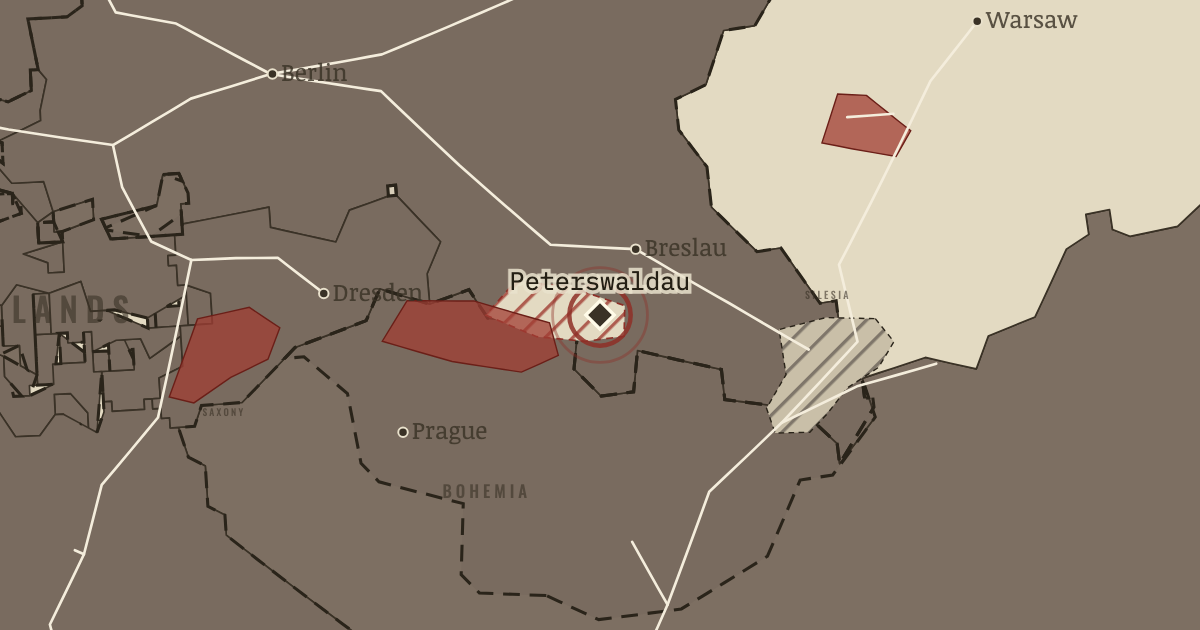
4–6 Jun 1844 — Machine-spun competition and wage cuts have ruined Silesian linen weavers. They wreck a merchant’s house, and at Langenbielau troops fire on the crowd, killing eleven. Remember them.
WW2 is free in full, and chapter 1 of every atlas is free. A free account opens 3 more chapters a day. Starter, at $9 a month, opens all 21 with no daily limit — see the plans.
6 JUNE 1844 · THE INDUSTRIAL REVOLUTION, 1750–1914
The moment in context
The coal belt from Mons through Charleroi to Liège gave Belgium a foundation for industry. Coal had been worked there for centuries, and Liège already possessed a metalworking tradition. When British machinery arrived, it entered a region with fuel and people whose skills could be put to new uses.
Why it happened — Coal and old industrial skills. British techniques could take root quickly where several resources met. The Sambre–Meuse valley had mined coal and worked iron since the Middle…
The turn — Cockerill at Seraing, 1817. At Seraing, British knowledge met Belgian resources. John Cockerill, born in Lancashire and trained in his father’s Verviers workshop, secured the…
What it changed — Germany overtakes. By joining markets before political unification, the Zollverein tied smaller German states to Prussia, the largest. Ruhr coal and railway orders…
Get the printable study guide for The Industrial Revolution free. I’ll send you a few short letters, then one when a new atlas opens. That’s all. — Paul
NO TRACKING · YOUR ADDRESS IS USED FOR THE DISPATCH AND NOTHING ELSE ·
UNSUBSCRIBE ANYTIME