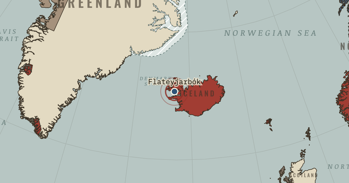
1387–94 — Flateyjarbók, the largest medieval Icelandic manuscript, takes its name from this island farm in Breiðafjörður. The farm’s owner gave it to the bishop of Skálholt in 1647; it reached the Danish king in 1656 and returned home to Reykjavík on 21 April 1971. Among the works it preserves is the Saga of the Greenlanders, written centuries after the voyages it recounts.
WW2 is free in full, and chapter 1 of every atlas is free. A free account opens 3 more chapters a day. Starter, at $9 a month, opens all 21 with no daily limit — see the plans.
21 APRIL 1971 · CLIMATE AND INNOVATION: THE NORSE AND THE AZTECS, C. 790–1521
The moment in context
A warm period in one place need not be warm everywhere. Michael Mann and colleagues compared hundreds of records in 2009 and found that, between 950 and 1250, the North Atlantic was relatively warm while parts of the tropical Pacific were cool. The name Medieval Climate Anomaly describes such a regional departure from the usual pattern, rather as an unusually hot decade might stand out in a city's records.
Why it happened — Living at the margin magnifies small changes. Hay linked Greenland's short summer to the survival of cattle through eight winter months. Too little warmth or moisture could leave the animals…
The turn — Summit, Greenland, 1 July 1993. On 1 July 1993 the GISP2 drill reached bedrock 3,053 metres beneath the Greenland ice sheet's summit. Its core offered an almost year-by-year…
What it changed — The warm centuries open the sea road. Norse voyages to Iceland, Greenland and North America coincided with the relatively warm centuries of roughly 950–1250. Climate helped set the…