MAPS OF HISTORY · ON THIS DAY · March 23 · 1940
ON THIS DAY · 23 MARCH 1940
Lahore — the Pakistan Resolution
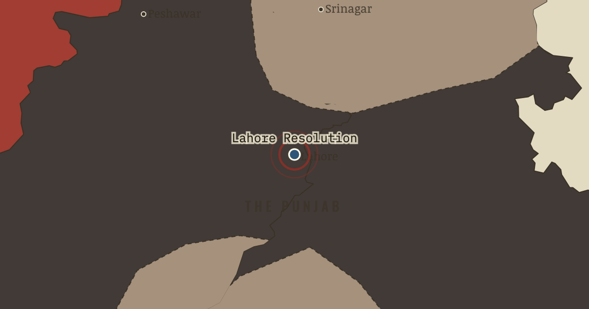
23 Mar 1940 — At Minto Park, under the Badshahi Mosque’s walls, the League resolves that Muslim-majority zones shall be “autonomous and sovereign.” The word Pakistan is not in the text; within years it is the only word that matters.
THE MOMENT IN CONTEXT
The war opened by demonstrating the exact grievance that the war’s own rhetoric of freedom made indefensible, power exercised without consent. On 3 September 1939 Viceroy Linlithgow declared that India was at war with Germany, consulting no Indian because constitutionally he needed no one’s agreement. Congress’s position was intricate and honest, since its leaders loathed fascism yet would cooperate only in exchange for a clear price, a promise of independence after victory and a share of power at the centre now. London, soon led by Churchill, refused to buy that cooperation with the dissolution of the empire. So in the autumn of 1939 the eight Congress ministries resigned, and elected India walked out of office, emptying the political stage for whoever would fill it. Jinnah proclaimed a “Day of Deliverance” from Congress rule, and the Viceroy discovered a priceless wartime ally in a Muslim League whose support cost only recognition and usefully divided the demand for freedom.
From Chapter 8 — The War Claims India of Indian Independence & Partition, 1905–1948 (MAR 1940).
OPEN THE INTERACTIVE MAP →New here? Chapters 1–2 of every atlas are free to sample, and the WW2 atlas is free in full. One membership opens all thirteen — the Cartographer’s Circle.
TEACH THIS IN 5 MINUTES
- Why it happened — One signature, four hundred million people. Linlithgow’s declaration was legal and catastrophic — a constitutional formality that told India its elected governments were decoration. Even the…
- The turn — Lahore, 23 March 1940. Three sentences of deliberately ambiguous prose, and the freedom struggle becomes two struggles. Lahore is the hinge not because it made Partition…
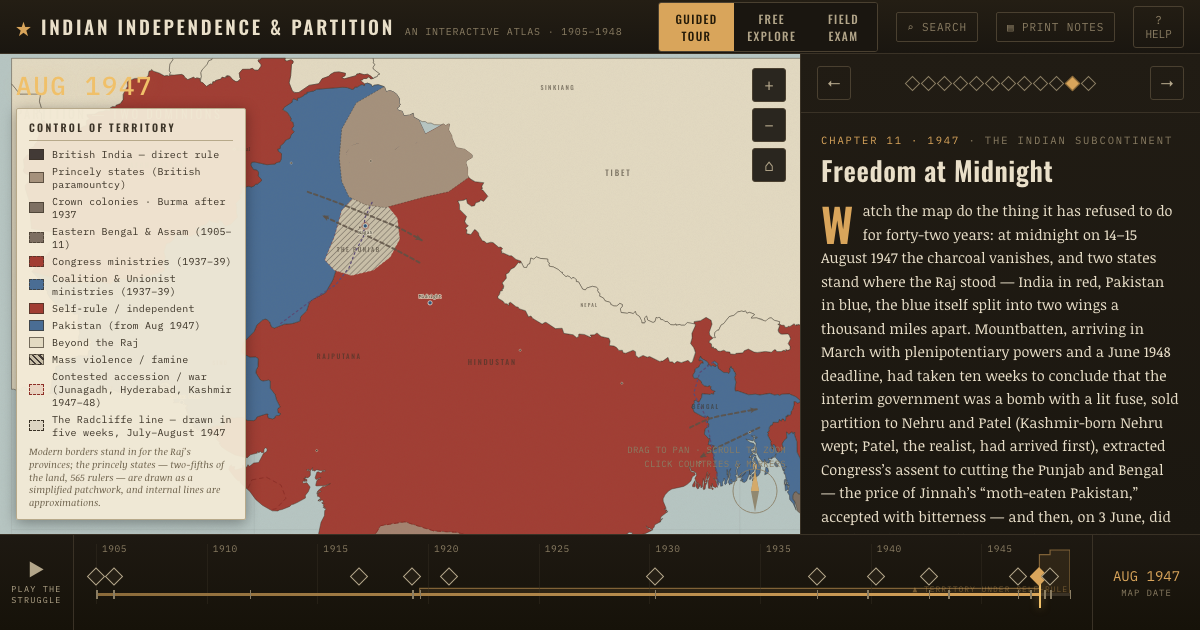
- What it changed — The map of the demand precedes the map of the state. Look back at the 1937 snapshot: the blue coalition provinces — Punjab, Bengal, Sind — plus the red NWFP are almost exactly the zones Lahore names.…
Then ask the room: The Lahore Resolution never mentions “Pakistan” and calls for “independent states,” plural, of ambiguous sovereignty. Does the ambiguity support the view that Partition was a bargaining position rather than a goal? The argued answer is on the chapter page →
THE ATLAS THAT SHOWS IT
THE DISPATCH
One short letter when a new atlas opens — and the printable study guide for Indian Independence & Partition is yours now, free.
NO TRACKING · YOUR ADDRESS IS USED FOR THE DISPATCH AND NOTHING ELSE · UNSUBSCRIBE ANYTIME