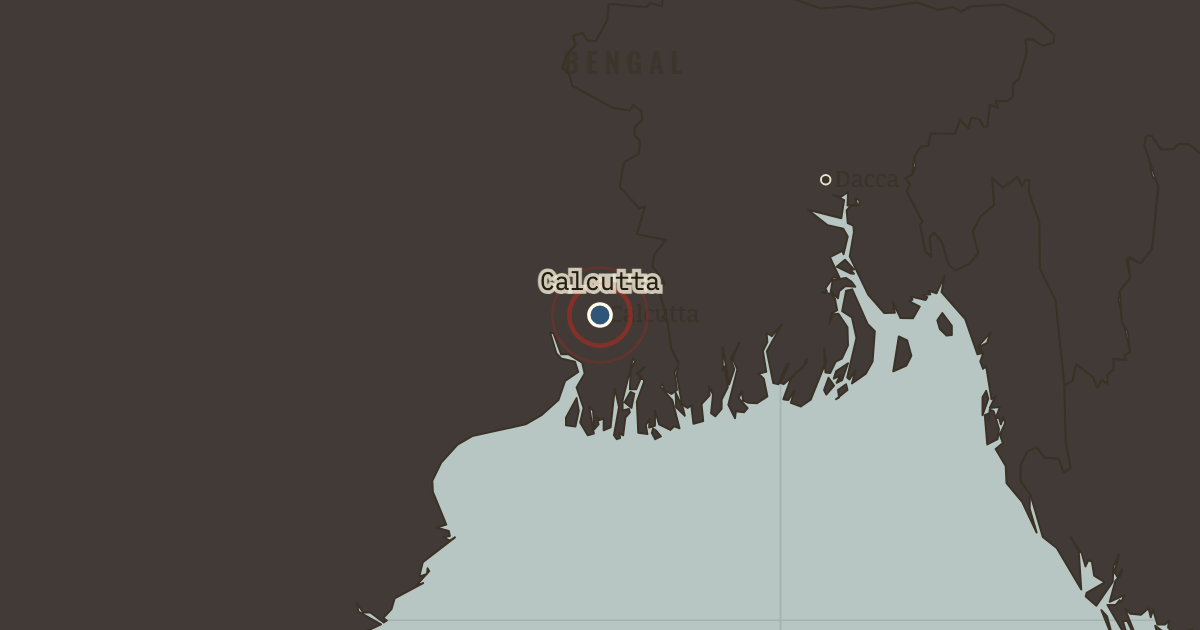
On the Indian independence map as “Calcutta — the capital”
1905 — Calcutta is both the Viceroy’s seat and the second city of the British Empire. It is home, too, to a Bengali intelligentsia educated by the Raj and now distrusted by it. In 1911 the capital will move to Delhi, away from Calcutta’s politics.
Chapter 3 is included with every paid plan. WW2 is free in full, and chapter 1 of every atlas is free. A free account opens 3 more chapters a day. Starter, at $9 a month, opens all 21 with no daily limit — see the plans.
Get the printable study guide for Indian Independence & Partition free. I’ll send you a few short letters, then one when a new atlas opens. That’s all. — Paul
NO TRACKING · YOUR ADDRESS IS USED FOR THE DISPATCH AND NOTHING ELSE ·
UNSUBSCRIBE ANYTIME