China in Revolution, 1911–1949 · THE MAP IN
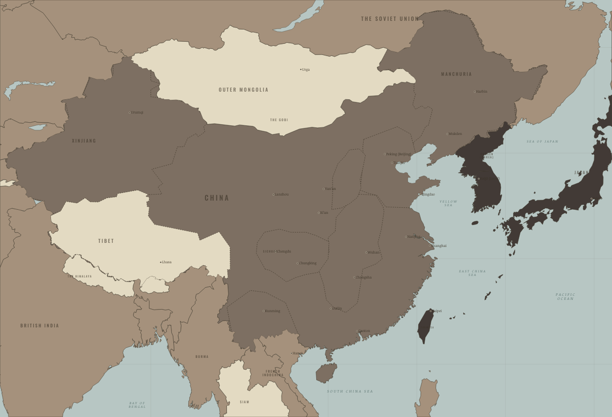
Map of China in 1916
Yuan dies — the warlord fracture
China in 1916: Yuan dies — the warlord fracture. Since 1912, 1 territory changed status on this map: China (the Republic, 1912–49).
Open this map in the interactive atlas →
WW2 is free in full, and chapter 1 of every atlas is free. A free account opens 3 more chapters a day. Starter, at $9 a month, opens all 21 with no daily limit — see the plans.
Free printable Chinese Revolution study guide, sent by email ↓
What changes on the map
| China (the Republic, 1912–49) | The Republic of China — the government at the time → Warlord cliques — the republic divided among them |
On the ground
- The Fengtian clique held Zhang Zuolin’s Manchuria, with its arsenals and railways and the support of Japanese patrons.
- The Zhili clique held Peking, gaining the diplomatic recognition and customs surplus that came with the capital.
- Wu Peifu controlled the central Yangtze region of Henan, Hubei and Hunan until the Northern Expedition broke his power in 1926.
- From 1911 to 1949, Yan Xishan governed Shanxi as a “model province,” running it like a private kingdom protected by its mountains.
- The Sichuan warlords fought their own war in the basin for two decades. Later, the region became a refuge for Free China.
- Yunnan enjoyed mountain autonomy under the clique leaders Tang Jiyao and Long Yun. It was also the terminus of the Burma Road.
Related maps
THE FREE PRINTABLE STUDY GUIDE
Get the printable study guide for China in Revolution free. I’ll send you a few short letters, then one when a new atlas opens. That’s all. — Paul
NO TRACKING · YOUR ADDRESS IS USED FOR THE DISPATCH AND NOTHING ELSE · UNSUBSCRIBE ANYTIME