ON THIS DAY ·
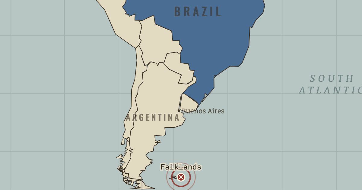
Battle of the Falkland Islands
8 Dec 1914 — Von Spee’s cruiser squadron has already destroyed a British force at Coronel. At the Falklands, battlecruisers catch the squadron coaling and annihilate it. Within four months, Germany’s surface war outside the North Sea is over, and the oceans belong to the Allies.
WW2 is free in full, and chapter 1 of every atlas is free. A free account opens 3 more chapters a day. Starter, at $9 a month, opens all 21 with no daily limit — see the plans.
The moment in context
A declaration in Europe could put people on several continents to work. Most colonies became legally at war when their ruling powers entered the conflict, without a separate decision by their inhabitants. Imperial governments could then draw on shipping, bases, money, food and raw materials as well as men. India furnished a vast volunteer army; African porters carried supplies for campaigns across difficult country; and Chinese laborers dug and repaired ground behind the Western Front. Many who sustained the fighting had never chosen the quarrel.
From WWI outside Europe, chapter 9 of The Great War, 1871–1923 (MAY 1917).
The place: Battle of the Falkland Islands — map and full story →
Teach this in 5 minutes
- Why it happened — Empires at war. The belligerents controlled networks that already spanned the world: shipping lanes, coaling stations, colonial armies and undersea cables. Once…
- The turn — The wartime agreements, 1916. Britain’s agreements altered the future political problem without moving an army. In 1915–16 it encouraged Arab expectations of independence; in May…
- What it changed — Imperial authority challenged. Imperial subjects had seen European armies suffer and rely on their labor and loyalty. Wilson’s “self-determination” and Lenin’s anti-imperialism…
Then ask the room: Is “A European civil war with global casualties” a fair description of 1914–18? The argued answer is on the chapter page →
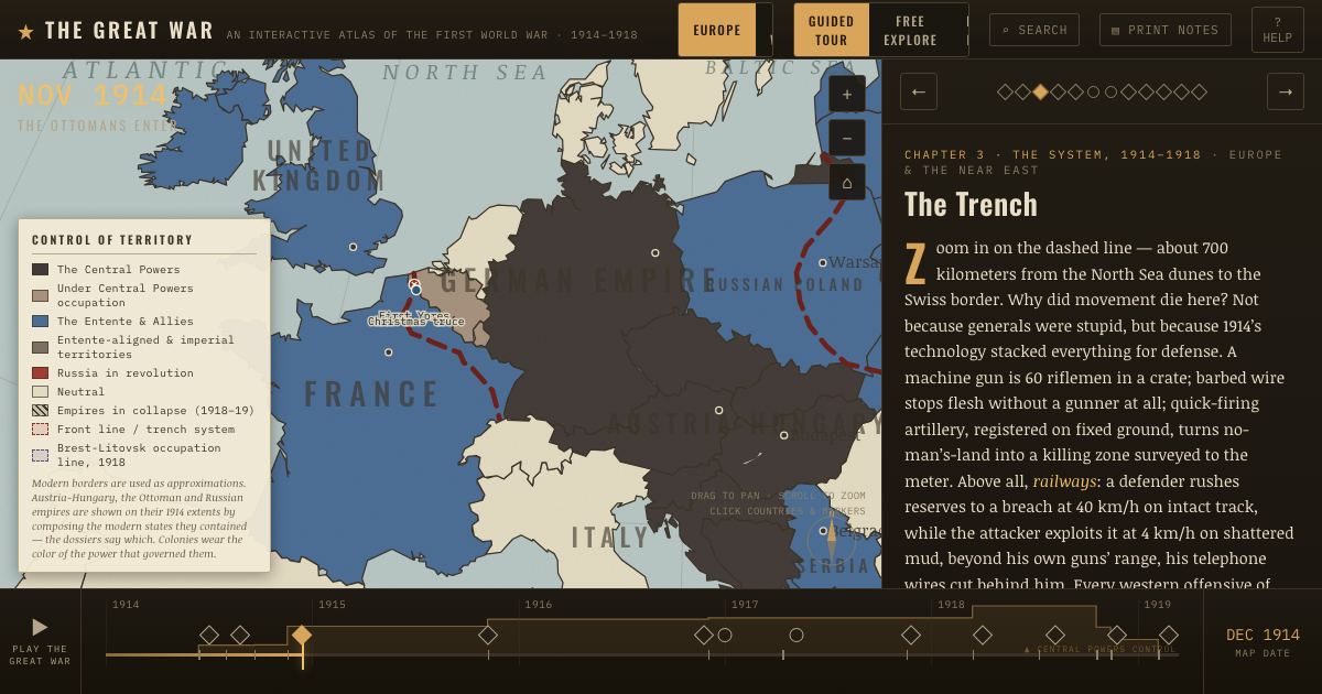
The atlas that shows it
THE FREE PRINTABLE STUDY GUIDE
Get the printable study guide for WWI free. I’ll send you a few short letters, then one when a new atlas opens. That’s all. — Paul
NO TRACKING · YOUR ADDRESS IS USED FOR THE DISPATCH AND NOTHING ELSE · UNSUBSCRIBE ANYTIME