ON THIS DAY ·
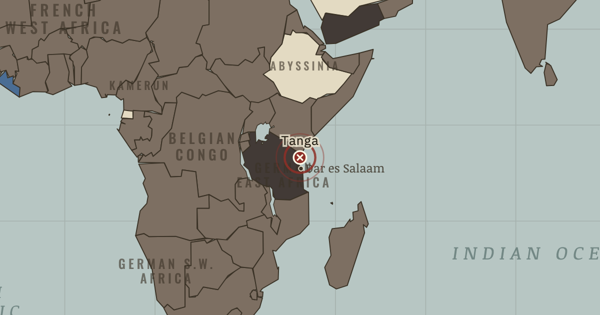
Battle of Tanga
2-5 Nov 1914 — A British-Indian landing force meets Lettow-Vorbeck’s askari at Tanga. Though outnumbered 8-to-1, the askari rout it; swarming bees help, so the story goes. Lettow-Vorbeck’s East African force keeps 130,000 imperial troops in pursuit until after the armistice.
WW2 is free in full, and chapter 1 of every atlas is free. A free account opens 3 more chapters a day. Starter, at $9 a month, opens all 21 with no daily limit — see the plans.
The moment in context
A declaration in Europe could put people on several continents to work. Most colonies became legally at war when their ruling powers entered the conflict, without a separate decision by their inhabitants. Imperial governments could then draw on shipping, bases, money, food and raw materials as well as men. India furnished a vast volunteer army; African porters carried supplies for campaigns across difficult country; and Chinese laborers dug and repaired ground behind the Western Front. Many who sustained the fighting had never chosen the quarrel.
From WWI outside Europe, chapter 9 of The Great War, 1871–1923 (MAY 1917).
The place: Battle of Tanga — map and full story →
Teach this in 5 minutes
- Why it happened — Empires at war. The belligerents controlled networks that already spanned the world: shipping lanes, coaling stations, colonial armies and undersea cables. Once…
- The turn — The wartime agreements, 1916. Britain’s agreements altered the future political problem without moving an army. In 1915–16 it encouraged Arab expectations of independence; in May…
- What it changed — Imperial authority challenged. Imperial subjects had seen European armies suffer and rely on their labor and loyalty. Wilson’s “self-determination” and Lenin’s anti-imperialism…
Then ask the room: Is “A European civil war with global casualties” a fair description of 1914–18? The argued answer is on the chapter page →
The atlas that shows it
THE FREE PRINTABLE STUDY GUIDE
Get the printable study guide for WWI free. I’ll send you a few short letters, then one when a new atlas opens. That’s all. — Paul
NO TRACKING · YOUR ADDRESS IS USED FOR THE DISPATCH AND NOTHING ELSE · UNSUBSCRIBE ANYTIME