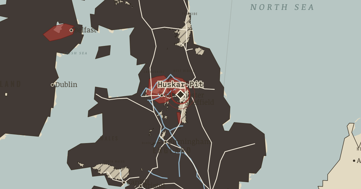
4 Jul 1838 — At this South Yorkshire colliery, a storm floods the ventilation drift. Twenty-six children drown; the youngest is seven years old. The outcry helps bring about the Mines Act of 1842.
WW2 is free in full, and chapter 1 of every atlas is free. A free account opens 3 more chapters a day. Starter, at $9 a month, opens all 21 with no daily limit — see the plans.
4 JULY 1838 · THE INDUSTRIAL REVOLUTION, 1750–1914
The moment in context
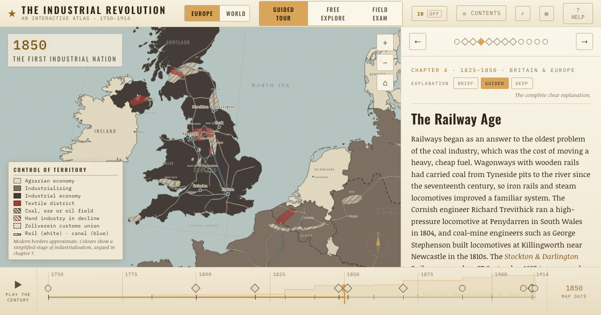
A factory needed a workforce within reach, and its jobs drew people from the countryside, Scotland and Ireland. Irish migration became especially pronounced after the Great Famine of 1845–52: the failure of the potato crop killed about a million people and drove many more abroad. On the map, arrows trace routes to Liverpool, Manchester and Glasgow. The same influx that supplied workers created an urgent demand for housing.
Why it happened — Factories pulled workers into towns. The mills offered a reason to move. Steam power allowed works to gather where coal, canals and railways met, while higher town wages attracted…
The turn — The Factory Act, Westminster, 1833. Parliament had restricted children's work in cotton mills in 1802 and 1819, yet those acts had no inspectors and were widely ignored. The Factory…
What it changed — Protest grows from hardship. People brought together in industrial towns could organize around shared grievances. Hunger, low wages and the loss of skilled trades fed protest…
Get the printable study guide for The Industrial Revolution free. I’ll send you a few short letters, then one when a new atlas opens. That’s all. — Paul
NO TRACKING · YOUR ADDRESS IS USED FOR THE DISPATCH AND NOTHING ELSE ·
UNSUBSCRIBE ANYTIME