ON THIS DAY ·
Battle of Crête-à-Pierrot
4–24 Mar 1802 — Above the Artibonite, a small earthwork fort holds a far larger French army at bay for three weeks. The French lose some 2,000 killed and wounded. Lamartinière then leads the garrison out through the French lines.
WW2 is free in full, and chapter 1 of every atlas is free. A free account opens 3 more chapters a day. Starter, at $9 a month, opens all 21 with no daily limit — see the plans.
Free printable Haiti and Kenya independence study guide, sent by email ↓
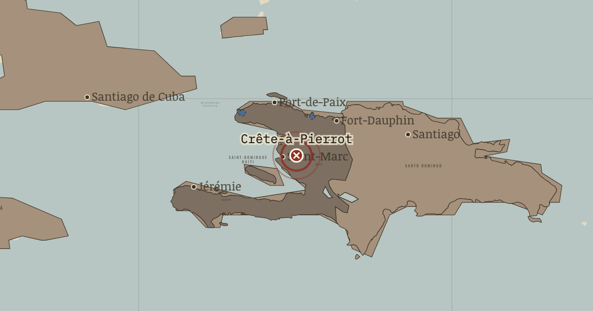
The moment in context
Napoleon publicly promised the people of Saint-Domingue that their freedom would be respected. His orders to General Leclerc, who sailed from Brest on 14 December 1801, had another purpose as well: disarm the colony’s Black generals and send them to France. The expedition would restore French control over a colony that had come to govern itself.
From Napoleon’s Saint-Domingue expedition, chapter 4 of Two Roads to Independence: Haiti 1789–1838 and Kenya 1895–1978 (1803).
The place: Battle of Crête-à-Pierrot — map and full story →
Teach this in 5 minutes
- Why it happened — A constitution that alarmed Paris. By 1801 Toussaint had given the colony a constitution, governed the whole island and traded with Britain and the United States. Napoleon feared…
- The turn — Vertières, 18 November 1803. Le Cap’s defenses stood at Vertières. On 18 November 1803 Dessalines’ army attacked the forts; Haitian tradition celebrates François Capois,…
- What it changed — Independence is declared. The generals gathered at Gonaïves on 1 January 1804 and declared independence. Their country took the name Haiti from the Taíno, the island’s first…
Then ask the room: Why did Napoleon’s expedition to Saint-Domingue fail? The argued answer is on the chapter page →
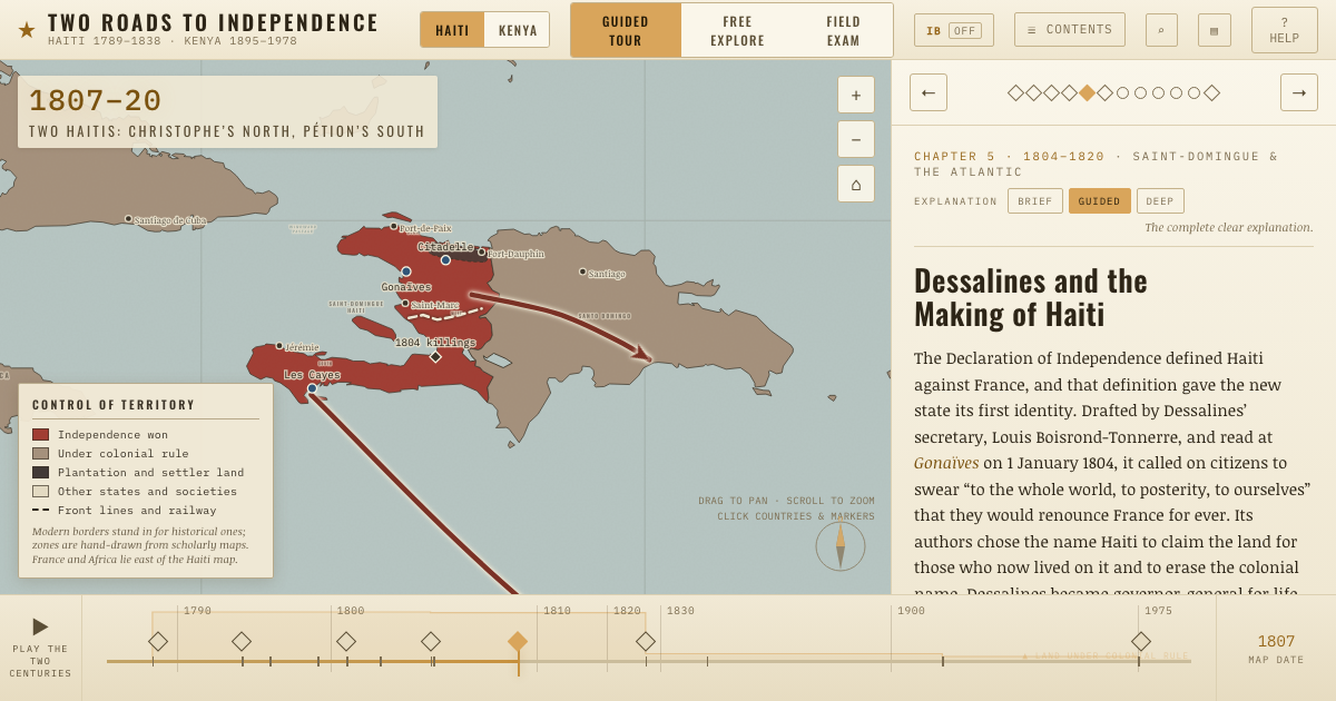
The atlas that shows it
THE FREE PRINTABLE STUDY GUIDE
Get the printable study guide for Two Roads to Independence free. I’ll send you a few short letters, then one when a new atlas opens. That’s all. — Paul
NO TRACKING · YOUR ADDRESS IS USED FOR THE DISPATCH AND NOTHING ELSE · UNSUBSCRIBE ANYTIME